Distance to Kunkle, Ohio

Calculating Your Route
Just a moment while we process your request...
Location Information
-
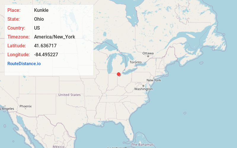
Full AddressKunkle, OH
-
Coordinates41.6367174, -84.4952267
-
LocationKunkle , Ohio , US
-
TimezoneAmerica/New_York
-
Current Local Time7:35:19 PM America/New_YorkThursday, June 19, 2025
-
Page Views0
About Kunkle
Kunkle is a census-designated place in southeastern Madison Township, Williams County, Ohio, United States. It is located approximately 60 miles west of Toledo. The population was 173 at the 2020 census.
It has a post office with the ZIP code 43531.
Nearby Places
Found 10 places within 50 miles

Pioneer
4.2 mi
6.8 km
Pioneer, OH 43554
Get directions

West Unity
4.7 mi
7.6 km
West Unity, OH 43570
Get directions

Montpelier
6.7 mi
10.8 km
Montpelier, OH 43543
Get directions

Waldron
7.4 mi
11.9 km
Waldron, MI 49288
Get directions

Lake Seneca
8.5 mi
13.7 km
Lake Seneca, OH 43543
Get directions

Fayette
9.1 mi
14.6 km
Fayette, OH 43521
Get directions

Stryker
10.1 mi
16.3 km
Stryker, OH 43557
Get directions

Bryan
11.6 mi
18.7 km
Bryan, OH 43506
Get directions

Archbold
12.6 mi
20.3 km
Archbold, OH 43502
Get directions

Tedrow
15.1 mi
24.3 km
Tedrow, OH 43567
Get directions
Location Links
Local Weather
Weather Information
Coming soon!
Location Map
Static map view of Kunkle, Ohio
Browse Places by Distance
Places within specific distances from Kunkle
Short Distances
Long Distances
Click any distance to see all places within that range from Kunkle. Distances shown in miles (1 mile ≈ 1.61 kilometers).