Distance to La Grange, Illinois

Calculating Your Route
Just a moment while we process your request...
Location Information
-
Full AddressLa Grange, IL
-
Coordinates41.8050314, -87.8692254
-
LocationLa Grange , Illinois , US
-
TimezoneAmerica/Chicago
-
Current Local Time1:41:44 PM America/ChicagoTuesday, June 24, 2025
-
Page Views1
About La Grange
La Grange is a village in Cook County, Illinois, United States. It is a suburb of Chicago. The population was 16,321 at the 2020 census.


Nearby Places
Found 10 places within 50 miles

Brookfield
1.6 mi
2.6 km
Brookfield, IL 60513
Get directions

Westchester
3.2 mi
5.1 km
Westchester, IL
Get directions

Hinsdale
3.5 mi
5.6 km
Hinsdale, IL
Get directions

Berwyn
5.0 mi
8.0 km
Berwyn, IL 60402
Get directions

Bridgeview
5.1 mi
8.2 km
Bridgeview, IL
Get directions

Maywood
5.3 mi
8.5 km
Maywood, IL 60153
Get directions

Bellwood
5.3 mi
8.5 km
Bellwood, IL
Get directions

Westmont
5.5 mi
8.9 km
Westmont, IL
Get directions

Melrose Park
6.6 mi
10.6 km
Melrose Park, IL
Get directions

Darien
6.7 mi
10.8 km
Darien, IL
Get directions
Location Links
Local Weather
Weather Information
Coming soon!
Location Map
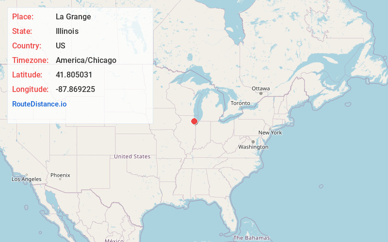
Static map view of La Grange, Illinois
Browse Places by Distance
Places within specific distances from La Grange
Short Distances
Long Distances
Click any distance to see all places within that range from La Grange. Distances shown in miles (1 mile ≈ 1.61 kilometers).