Distance to La Plata, Missouri

Calculating Your Route
Just a moment while we process your request...
Location Information
-
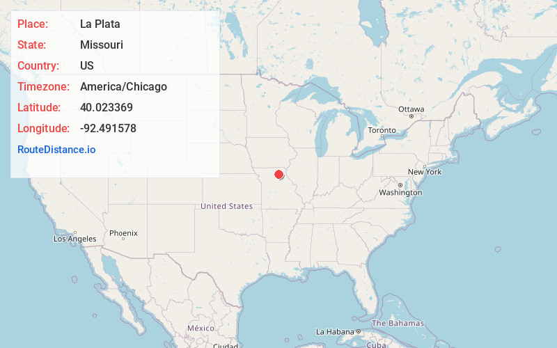
Full AddressLa Plata, MO 63549
-
Coordinates40.0233687, -92.4915779
-
LocationLa Plata , Missouri , US
-
TimezoneAmerica/Chicago
-
Current Local Time4:45:03 PM America/ChicagoThursday, June 5, 2025
-
Page Views0
About La Plata
La Plata is a city in Macon County, Missouri, United States. The population was 1,257 at the 2020 census, down from 1,366 in 2010. La Plata is located next to the Adair County line and is on a mainline of the BNSF Railway.

Nearby Places
Found 10 places within 50 miles

Kirksville
12.8 mi
20.6 km
Kirksville, MO 63501
Get directions

Macon
19.5 mi
31.4 km
Macon, MO 63552
Get directions

Edina
19.6 mi
31.5 km
Edina, MO 63537
Get directions

Marceline
32.4 mi
52.1 km
Marceline, MO 64658
Get directions

Shelbina
32.9 mi
52.9 km
Shelbina, MO 63468
Get directions

Memphis
34.4 mi
55.4 km
Memphis, MO 63555
Get directions

Brookfield
35.0 mi
56.3 km
Brookfield, MO 64628
Get directions

Milan
35.7 mi
57.5 km
Milan, MO 63556
Get directions

Huntsville
40.4 mi
65.0 km
Huntsville, MO
Get directions

Unionville
41.4 mi
66.6 km
Unionville, MO 63565
Get directions
Location Links
Local Weather
Weather Information
Coming soon!
Location Map
Static map view of La Plata, Missouri
Browse Places by Distance
Places within specific distances from La Plata
Short Distances
Long Distances
Click any distance to see all places within that range from La Plata. Distances shown in miles (1 mile ≈ 1.61 kilometers).