Distance to La Platte, Nebraska

Calculating Your Route
Just a moment while we process your request...
Location Information
-
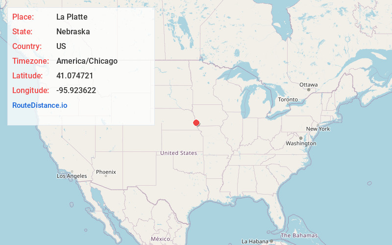
Full AddressLa Platte, NE 68123
-
Coordinates41.0747212, -95.9236223
-
LocationLa Platte , Nebraska , US
-
TimezoneAmerica/Chicago
-
Current Local Time6:45:29 PM America/ChicagoSaturday, May 24, 2025
-
Page Views0
About La Platte
La Platte is a census-designated place in Sarpy County, Nebraska, United States.
Nearby Places
Found 10 places within 50 miles

Offutt AFB
3.5 mi
5.6 km
Offutt AFB, NE
Get directions

Plattsmouth
4.9 mi
7.9 km
Plattsmouth, NE 68048
Get directions

Bellevue
5.7 mi
9.2 km
Bellevue, NE
Get directions

Pacific Junction
7.5 mi
12.1 km
Pacific Junction, IA 51561
Get directions

Papillion
8.3 mi
13.4 km
Papillion, NE
Get directions

Cedar Creek
9.5 mi
15.3 km
Cedar Creek, NE 68037
Get directions

Glenwood
9.6 mi
15.4 km
Glenwood, IA 51534
Get directions

La Vista
10.2 mi
16.4 km
La Vista, NE
Get directions

Murray
10.9 mi
17.5 km
Murray, NE 68409
Get directions

Springfield
10.9 mi
17.5 km
Springfield, NE 68059
Get directions
Location Links
Local Weather
Weather Information
Coming soon!
Location Map
Static map view of La Platte, Nebraska
Browse Places by Distance
Places within specific distances from La Platte
Short Distances
Long Distances
Click any distance to see all places within that range from La Platte. Distances shown in miles (1 mile ≈ 1.61 kilometers).