Distance to La Sal, Utah

Calculating Your Route
Just a moment while we process your request...
Location Information
-
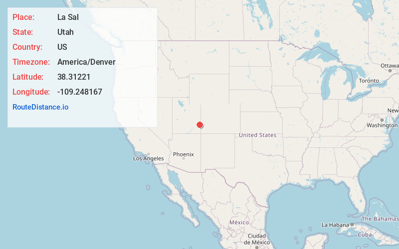
Full AddressLa Sal, UT 84530
-
Coordinates38.31221, -109.2481669
-
LocationLa Sal , Utah , US
-
TimezoneAmerica/Denver
-
Current Local Time1:14:09 PM America/DenverSaturday, May 24, 2025
-
Page Views0
About La Sal
La Sal is a census-designated place in northeastern San Juan County, Utah, United States. The population was 339 at the 2000 census. The name comes from the La Sal Mountains which means in Spanish "The Salt". The area is known for its uranium resources.


Nearby Places
Found 9 places within 50 miles

Spanish Valley
16.9 mi
27.2 km
Spanish Valley, UT 84532
Get directions

Castle Valley
24.2 mi
38.9 km
Castle Valley, UT 84532
Get directions

Moab
24.4 mi
39.3 km
Moab, UT 84532
Get directions

Monticello
30.9 mi
49.7 km
Monticello, UT 84535
Get directions

Naturita
37.4 mi
60.2 km
Naturita, CO
Get directions

Nucla
38.1 mi
61.3 km
Nucla, CO 81424
Get directions

Dove Creek
42.1 mi
67.8 km
Dove Creek, CO 81324
Get directions

Redvale
46.1 mi
74.2 km
Redvale, CO 81431
Get directions

Blanding
49.2 mi
79.2 km
Blanding, UT 84511
Get directions
Location Links
Local Weather
Weather Information
Coming soon!
Location Map
Static map view of La Sal, Utah
Browse Places by Distance
Places within specific distances from La Sal
Short Distances
Long Distances
Click any distance to see all places within that range from La Sal. Distances shown in miles (1 mile ≈ 1.61 kilometers).