Distance to Redvale, Colorado

Calculating Your Route
Just a moment while we process your request...
Location Information
-
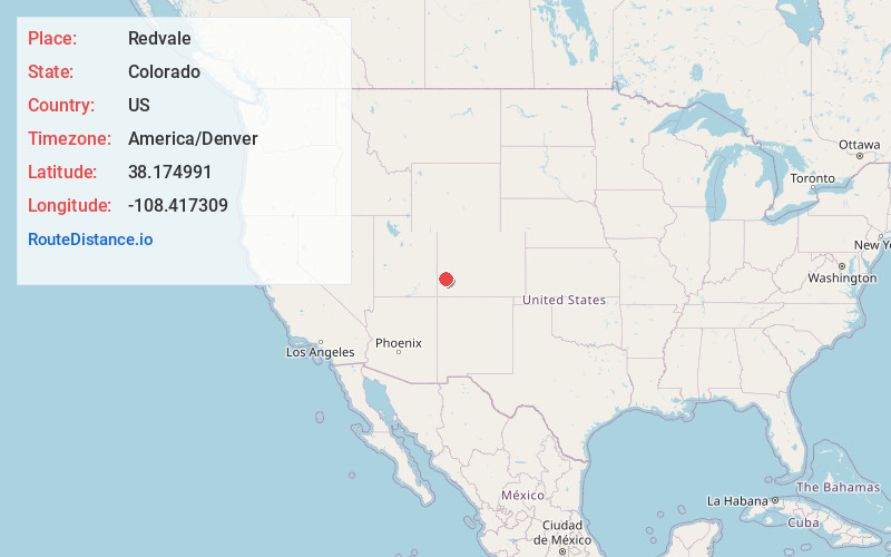
Full AddressRedvale, CO 81431
-
Coordinates38.1749906, -108.4173088
-
LocationRedvale , Colorado , US
-
TimezoneAmerica/Denver
-
Current Local Time6:20:44 PM America/DenverFriday, June 13, 2025
-
Page Views0
About Redvale
Redvale is an unincorporated town, a post office, and a census-designated place located in and governed by Montrose County, Colorado, United States. The CDP is a part of the Montrose, CO Micropolitan Statistical Area. The Redvale post office has the ZIP Code 81431.


Nearby Places
Found 10 places within 50 miles

Norwood
7.5 mi
12.1 km
Norwood, CO 81423
Get directions

Naturita
8.7 mi
14.0 km
Naturita, CO
Get directions

Nucla
9.6 mi
15.4 km
Nucla, CO 81424
Get directions

Loghill Village
34.7 mi
55.8 km
Loghill Village, CO 81432
Get directions

Mountain Village
34.9 mi
56.2 km
Mountain Village, CO 81435
Get directions

Ridgway
36.0 mi
57.9 km
Ridgway, CO 81432
Get directions

Montrose
36.1 mi
58.1 km
Montrose, CO
Get directions

Telluride
36.8 mi
59.2 km
Telluride, CO
Get directions

Olathe
37.9 mi
61.0 km
Olathe, CO 81425
Get directions

Dove Creek
38.8 mi
62.4 km
Dove Creek, CO 81324
Get directions
Location Links
Local Weather
Weather Information
Coming soon!
Location Map
Static map view of Redvale, Colorado
Browse Places by Distance
Places within specific distances from Redvale
Short Distances
Long Distances
Click any distance to see all places within that range from Redvale. Distances shown in miles (1 mile ≈ 1.61 kilometers).