Distance to Labbe Camp, Nevada

Calculating Your Route
Just a moment while we process your request...
Location Information
-
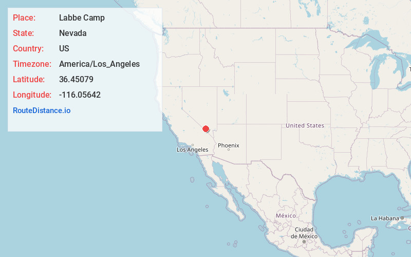
Full AddressLabbe Camp, NV 89060
-
Coordinates36.4507901, -116.05642
-
LocationLabbe Camp , Nevada , US
-
TimezoneAmerica/Los_Angeles
-
Current Local Time9:00:48 PM America/Los_AngelesThursday, June 19, 2025
-
Page Views0
Nearby Places
Found 10 places within 50 miles

Johnnie
2.3 mi
3.7 km
Johnnie, NV 89060
Get directions

Crystal
6.8 mi
10.9 km
Crystal, NV 89048
Get directions
Point of Rocks
7.6 mi
12.2 km
Point of Rocks, Nevada 89060
Get directions
Camp Desert Rock
12.4 mi
20.0 km
Camp Desert Rock, NV
Get directions

Mercury
14.9 mi
24.0 km
Mercury, NV
Get directions

Pahrump
17.2 mi
27.7 km
Pahrump, NV
Get directions

Cold Creek Spring
17.7 mi
28.5 km
Cold Creek Spring, Nevada 89124
Get directions
Mud Springs
21.4 mi
34.4 km
Mud Springs, Nevada 89124
Get directions

Indian Springs
22.9 mi
36.9 km
Indian Springs, NV
Get directions

Amargosa Valley
23.3 mi
37.5 km
Amargosa Valley, NV 89020
Get directions
Location Links
Local Weather
Weather Information
Coming soon!
Location Map
Static map view of Labbe Camp, Nevada
Browse Places by Distance
Places within specific distances from Labbe Camp
Short Distances
Long Distances
Click any distance to see all places within that range from Labbe Camp. Distances shown in miles (1 mile ≈ 1.61 kilometers).