Distance to Ladonia, North Carolina

Calculating Your Route
Just a moment while we process your request...
Location Information
-
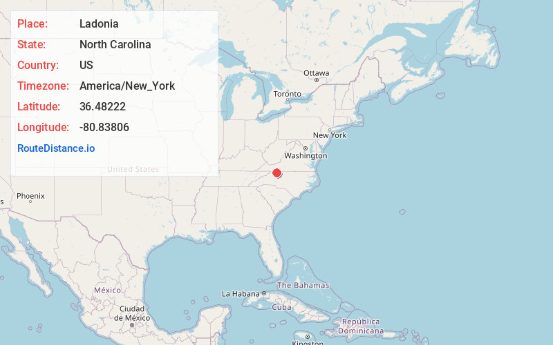
Full AddressLadonia, NC 27024
-
Coordinates36.48222, -80.83806
-
LocationLadonia , North Carolina , US
-
TimezoneAmerica/New_York
-
Current Local Time3:18:46 AM America/New_YorkWednesday, June 18, 2025
-
Page Views0
About Ladonia
Ladonia is an unincorporated community located in the Franklin Township of northwest Surry County, North Carolina, United States. The community generally lies on the Fisher River and is centered on the intersection of Blevins Store Road and Ladonia Church Road.
Nearby Places
Found 10 places within 50 miles

Lowgap
3.4 mi
5.5 km
Lowgap, NC 27024
Get directions

Hare
7.9 mi
12.7 km
Hare, NC 28627
Get directions

Dobson
8.8 mi
14.2 km
Dobson, NC
Get directions
Toast
11.4 mi
18.3 km
Toast, NC 27030
Get directions
Pleasant Ridge
11.6 mi
18.7 km
Pleasant Ridge, NC 28676
Get directions
White Plains
11.6 mi
18.7 km
White Plains, NC 27030
Get directions

Cana
11.8 mi
19.0 km
Cana, VA 24317
Get directions

Mt Airy
13.0 mi
20.9 km
Mt Airy, NC 27030
Get directions

Galax
13.3 mi
21.4 km
Galax, VA 24333
Get directions
Burch
14.7 mi
23.7 km
Burch, NC 28621
Get directions
Location Links
Local Weather
Weather Information
Coming soon!
Location Map
Static map view of Ladonia, North Carolina
Browse Places by Distance
Places within specific distances from Ladonia
Short Distances
Long Distances
Click any distance to see all places within that range from Ladonia. Distances shown in miles (1 mile ≈ 1.61 kilometers).