Distance to Laguna Heights, Texas

Calculating Your Route
Just a moment while we process your request...
Location Information
-
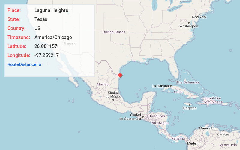
Full AddressLaguna Heights, TX 78578
-
Coordinates26.0811572, -97.2592171
-
LocationLaguna Heights , Texas , US
-
TimezoneAmerica/Chicago
-
Current Local Time9:32:22 AM America/ChicagoMonday, June 2, 2025
-
Page Views0
About Laguna Heights
Laguna Heights is a census-designated place in Cameron County, Texas, United States. The population was 962 at the 2020 census, significantly down from 3,488 at the 2010 census.

Nearby Places
Found 10 places within 50 miles

Laguna Vista
2.4 mi
3.9 km
Laguna Vista, TX
Get directions

Port Isabel
3.2 mi
5.1 km
Port Isabel, TX
Get directions

South Padre Island
6.0 mi
9.7 km
South Padre Island, TX
Get directions

Los Fresnos
13.5 mi
21.7 km
Los Fresnos, TX
Get directions

Laureles
14.7 mi
23.7 km
Laureles, TX
Get directions

Cameron Park
15.7 mi
25.3 km
Cameron Park, TX 78526
Get directions

Rancho Viejo
18.7 mi
30.1 km
Rancho Viejo, TX
Get directions

Brownsville
19.3 mi
31.1 km
Brownsville, TX
Get directions

Rio Hondo
22.7 mi
36.5 km
Rio Hondo, TX
Get directions

San Benito
23.3 mi
37.5 km
San Benito, TX 78586
Get directions
Location Links
Local Weather
Weather Information
Coming soon!
Location Map
Static map view of Laguna Heights, Texas
Browse Places by Distance
Places within specific distances from Laguna Heights
Short Distances
Long Distances
Click any distance to see all places within that range from Laguna Heights. Distances shown in miles (1 mile ≈ 1.61 kilometers).