Distance to Lair, Kentucky

Calculating Your Route
Just a moment while we process your request...
Location Information
-
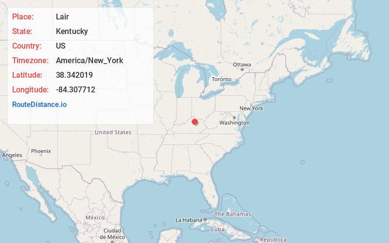
Full AddressLair, KY 41031
-
Coordinates38.3420194, -84.3077123
-
LocationLair , Kentucky , US
-
TimezoneAmerica/New_York
-
Current Local Time11:05:55 AM America/New_YorkTuesday, June 24, 2025
-
Page Views0
About Lair
Lair is an unincorporated community in Harrison County, Kentucky, United States. Lair is located on U.S. Route 27, 3.4 miles south of Cynthiana.


Nearby Places
Found 10 places within 50 miles

Broadwell
2.9 mi
4.7 km
Broadwell, KY 41031
Get directions
Shawhan
3.4 mi
5.5 km
Shawhan, KY 40361
Get directions

Cynthiana
3.4 mi
5.5 km
Cynthiana, KY 41031
Get directions
Ruddels Mills
4.6 mi
7.4 km
Ruddels Mills, KY 40361
Get directions
Ewalt Crossroads
4.7 mi
7.6 km
Ewalt Crossroads, KY 40361
Get directions
Kiserton
4.8 mi
7.7 km
Kiserton, KY 40361
Get directions
Colville
5.5 mi
8.9 km
Colville, KY 41031
Get directions
Jacksonville
5.7 mi
9.2 km
Jacksonville, KY 41031
Get directions
Lees Lick
6.0 mi
9.7 km
Lees Lick, KY 41031
Get directions
Connersville
6.3 mi
10.1 km
Connersville, KY 40370
Get directions
Location Links
Local Weather
Weather Information
Coming soon!
Location Map
Static map view of Lair, Kentucky
Browse Places by Distance
Places within specific distances from Lair
Short Distances
Long Distances
Click any distance to see all places within that range from Lair. Distances shown in miles (1 mile ≈ 1.61 kilometers).