Distance to Lake Point, Utah

Calculating Your Route
Just a moment while we process your request...
Location Information
-
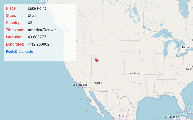
Full AddressLake Point, UT 84074
-
Coordinates40.6807773, -112.2630024
-
LocationLake Point , Utah , US
-
TimezoneAmerica/Denver
-
Current Local Time11:36:03 PM America/DenverSunday, June 22, 2025
-
Page Views0
About Lake Point
Lake Point is a city on the eastern edge of northern Tooele County, Utah, United States. It is located 17 miles southwest of Salt Lake City International Airport and 11 miles north of Tooele, Utah. At its location on the south shore of the Great Salt Lake, the city is served by Interstate 80 and Utah State Route 36.


Nearby Places
Found 10 places within 50 miles

Erda
5.2 mi
8.4 km
Erda, UT
Get directions

Garfield
6.0 mi
9.7 km
Garfield, UT 84044
Get directions
Arthur
7.1 mi
11.4 km
Arthur, UT 84044
Get directions
Magna Mill
7.7 mi
12.4 km
Magna Mill, UT 84044
Get directions
Pine Canyon
8.0 mi
12.9 km
Pine Canyon, UT 84074
Get directions

Magna
8.7 mi
14.0 km
Magna, UT
Get directions
Bacchus
8.8 mi
14.2 km
Bacchus, West Valley City, UT 84044
Get directions

Burmester
10.2 mi
16.4 km
Burmester, UT 84029
Get directions

Tooele
10.5 mi
16.9 km
Tooele, UT 84074
Get directions
Riter
11.0 mi
17.7 km
Riter, Magna, UT 84044
Get directions
Location Links
Local Weather
Weather Information
Coming soon!
Location Map
Static map view of Lake Point, Utah
Browse Places by Distance
Places within specific distances from Lake Point
Short Distances
Long Distances
Click any distance to see all places within that range from Lake Point. Distances shown in miles (1 mile ≈ 1.61 kilometers).