Distance to Lake Toxaway, North Carolina

Calculating Your Route
Just a moment while we process your request...
Location Information
-
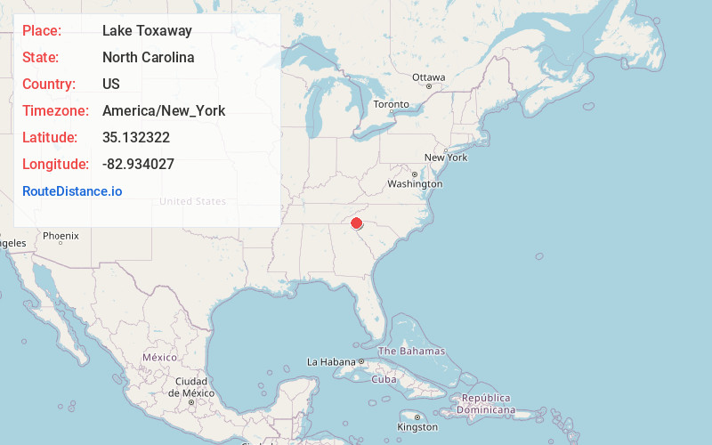
Full AddressLake Toxaway, NC 28747
-
Coordinates35.1323223, -82.9340266
-
LocationLake Toxaway , North Carolina , US
-
TimezoneAmerica/New_York
-
Current Local Time1:10:18 PM America/New_YorkTuesday, June 17, 2025
-
Page Views0
About Lake Toxaway
Lake Toxaway is an unincorporated community in western Transylvania County, North Carolina on U.S. Route 64, and North Carolina Highway 281.


Nearby Places
Found 10 places within 50 miles

Cane Brake
5.2 mi
8.4 km
Cane Brake, NC 28747
Get directions

Rosman
6.4 mi
10.3 km
Rosman, NC
Get directions
Powelltown
7.0 mi
11.3 km
Powelltown, NC 28772
Get directions
Piney Woods
9.0 mi
14.5 km
Piney Woods, NC 28712
Get directions

Cashiers
9.5 mi
15.3 km
Cashiers, NC 28717
Get directions
Selica
10.0 mi
16.1 km
Selica, NC 28712
Get directions
East Fork French Broad River
10.6 mi
17.1 km
East Fork French Broad River, North Carolina 28712
Get directions
Jocassee
11.2 mi
18.0 km
Jocassee, SC 29676
Get directions

Glenville
11.2 mi
18.0 km
Glenville, NC 28736
Get directions
Sega Lake
11.4 mi
18.3 km
Sega Lake, NC 28712
Get directions
Location Links
Local Weather
Weather Information
Coming soon!
Location Map
Static map view of Lake Toxaway, North Carolina
Browse Places by Distance
Places within specific distances from Lake Toxaway
Short Distances
Long Distances
Click any distance to see all places within that range from Lake Toxaway. Distances shown in miles (1 mile ≈ 1.61 kilometers).