Distance to Lamar, Oklahoma

Calculating Your Route
Just a moment while we process your request...
Location Information
-
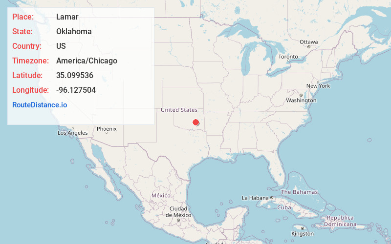
Full AddressLamar, OK 74850
-
Coordinates35.0995359, -96.1275035
-
LocationLamar , Oklahoma , US
-
TimezoneAmerica/Chicago
-
Current Local Time8:19:31 AM America/ChicagoSaturday, June 7, 2025
-
Page Views0
About Lamar
Lamar is a town in Hughes County, Oklahoma, United States. The population was 158 at the 2010 census.


Nearby Places
Found 10 places within 50 miles

Calvin
11.4 mi
18.3 km
Calvin, OK
Get directions

Wetumka
11.5 mi
18.5 km
Wetumka, OK 74883
Get directions

Dustin
13.0 mi
20.9 km
Dustin, OK 74839
Get directions

Arpelar
14.2 mi
22.9 km
Arpelar, OK 74501
Get directions

Holdenville
15.4 mi
24.8 km
Holdenville, OK 74848
Get directions

Weleetka
16.3 mi
26.2 km
Weleetka, OK
Get directions

Wewoka
21.1 mi
34.0 km
Wewoka, OK 74884
Get directions

Allen
22.2 mi
35.7 km
Allen, OK 74825
Get directions

Canadian Shores
22.5 mi
36.2 km
Canadian Shores, OK 74442
Get directions

McAlester
23.3 mi
37.5 km
McAlester, OK 74501
Get directions
Location Links
Local Weather
Weather Information
Coming soon!
Location Map
Static map view of Lamar, Oklahoma
Browse Places by Distance
Places within specific distances from Lamar
Short Distances
Long Distances
Click any distance to see all places within that range from Lamar. Distances shown in miles (1 mile ≈ 1.61 kilometers).