Distance to Lamar, West Virginia

Calculating Your Route
Just a moment while we process your request...
Location Information
-
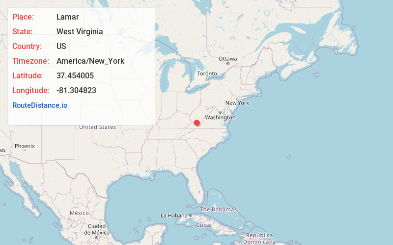
Full AddressLamar, WV 24736
-
Coordinates37.4540045, -81.304823
-
LocationWest Virginia , US
-
TimezoneAmerica/New_York
-
Current Local Time4:03:06 AM America/New_YorkWednesday, June 18, 2025
-
Page Views0
About Lamar
Lamar is an unincorporated community in Mercer and Wyoming counties, West Virginia, United States. Lamar is 4 miles northwest of Matoaka. Lamar was initially founded as Algonquin around 1915 by the Algonquin Coal Company, later renamed Lamar in 1930 after the Lamar Colliery Company took ownership of the town.
Nearby Places
Found 10 places within 50 miles

Covel
2.7 mi
4.3 km
Covel, WV 24736
Get directions

Crumpler
2.9 mi
4.7 km
Crumpler, WV 24747
Get directions
Smokeless
3.3 mi
5.3 km
Smokeless, WV 24733
Get directions
Springton
3.3 mi
5.3 km
Springton, WV 24733
Get directions

Dott
3.4 mi
5.5 km
Dott, WV 24714
Get directions
Hiawatha
3.5 mi
5.6 km
Hiawatha, WV 24733
Get directions
Weyanoke
3.6 mi
5.8 km
Weyanoke, WV 24747
Get directions
Giatto
3.7 mi
6.0 km
Giatto, WV 24747
Get directions
Cherokee
3.7 mi
6.0 km
Cherokee, WV 24747
Get directions
Herndon
4.1 mi
6.6 km
Herndon, WV 24736
Get directions
Location Links
Local Weather
Weather Information
Coming soon!
Location Map
Static map view of Lamar, West Virginia
Browse Places by Distance
Places within specific distances from Lamar
Short Distances
Long Distances
Click any distance to see all places within that range from Lamar. Distances shown in miles (1 mile ≈ 1.61 kilometers).