Distance to Lamar, Texas

Calculating Your Route
Just a moment while we process your request...
Location Information
-
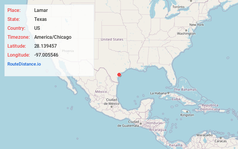
Full AddressLamar, TX 78382
-
Coordinates28.1394565, -97.0055455
-
LocationLamar , Texas , US
-
TimezoneAmerica/Chicago
-
Current Local Time7:52:06 AM America/ChicagoFriday, June 6, 2025
-
Page Views0
About Lamar
Lamar is a small, unincorporated community and census-designated place in Aransas County, Texas, United States, 10 miles north of Rockport and 40 miles north of Corpus Christi. As of the 2010 census it had a population of 636.
Nearby Places
Found 10 places within 50 miles

Rockport
8.3 mi
13.4 km
Rockport, TX
Get directions

Aransas Pass
18.2 mi
29.3 km
Aransas Pass, TX
Get directions

Refugio
20.0 mi
32.2 km
Refugio, TX 78377
Get directions

Port Aransas
21.4 mi
34.4 km
Port Aransas, TX
Get directions

Ingleside
22.0 mi
35.4 km
Ingleside, TX
Get directions

Gregory
22.9 mi
36.9 km
Gregory, TX
Get directions

Seadrift
26.1 mi
42.0 km
Seadrift, TX
Get directions

Taft
26.4 mi
42.5 km
Taft, TX 78390
Get directions

Portland
26.6 mi
42.8 km
Portland, TX
Get directions

Sinton
31.5 mi
50.7 km
Sinton, TX
Get directions
Location Links
Local Weather
Weather Information
Coming soon!
Location Map
Static map view of Lamar, Texas
Browse Places by Distance
Places within specific distances from Lamar
Short Distances
Long Distances
Click any distance to see all places within that range from Lamar. Distances shown in miles (1 mile ≈ 1.61 kilometers).