Distance to Lamb Place, Maine

Calculating Your Route
Just a moment while we process your request...
Location Information
-
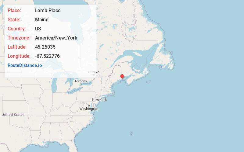
Full AddressLamb Place, Baileyville, ME 04694
-
Coordinates45.25035, -67.5227756
-
NeighborhoodUpper Little Ridge
-
LocationBaileyville , Maine , US
-
TimezoneAmerica/New_York
-
Current Local Time9:29:23 PM America/New_YorkTuesday, May 27, 2025
-
Page Views0
Nearby Places
Found 10 places within 50 miles

Princeton
3.0 mi
4.8 km
Princeton, ME
Get directions

Peter Dana Point
5.9 mi
9.5 km
Peter Dana Point, ME 04668
Get directions

Baileyville
6.2 mi
10.0 km
Baileyville, ME 04694
Get directions

Waite
9.7 mi
15.6 km
Waite, ME 04492
Get directions
Alexander
11.5 mi
18.5 km
Alexander, ME 04694
Get directions

Calais
12.6 mi
20.3 km
Calais, ME
Get directions
Talmadge
12.8 mi
20.6 km
Talmadge, ME
Get directions

Baring
13.1 mi
21.1 km
Baring, ME
Get directions
Crawford
13.7 mi
22.0 km
Crawford, ME
Get directions
Codyville
15.4 mi
24.8 km
Codyville, ME
Get directions
Location Links
Local Weather
Weather Information
Coming soon!
Location Map
Static map view of Lamb Place, Maine
Browse Places by Distance
Places within specific distances from Lamb Place
Short Distances
Long Distances
Click any distance to see all places within that range from Lamb Place. Distances shown in miles (1 mile ≈ 1.61 kilometers).