Distance to Lamb, Colorado

Calculating Your Route
Just a moment while we process your request...
Location Information
-
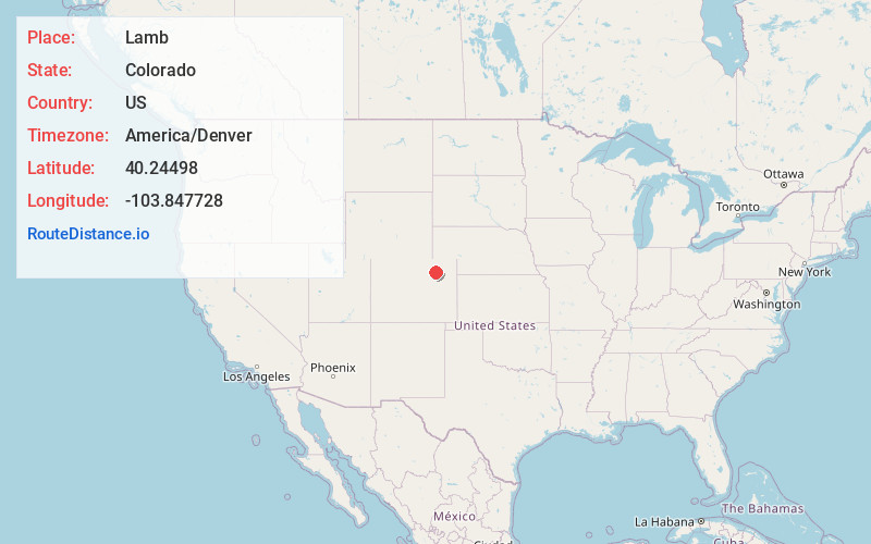
Full AddressLamb, CO 80701
-
Coordinates40.2449804, -103.8477284
-
LocationLamb , Colorado , US
-
TimezoneAmerica/Denver
-
Current Local Time6:17:55 PM America/DenverFriday, June 20, 2025
-
Page Views0
Nearby Places
Found 10 places within 50 miles

Trail Side
0.5 mi
0.8 km
Trail Side, CO 80701
Get directions

Log Lane Village
2.0 mi
3.2 km
Log Lane Village, CO
Get directions

Fort Morgan
2.5 mi
4.0 km
Fort Morgan, CO 80701
Get directions
Morgan Heights
3.2 mi
5.1 km
Morgan Heights, CO 80701
Get directions
Hurley
5.0 mi
8.0 km
Hurley, CO 80701
Get directions
Saddle Ridge
5.3 mi
8.5 km
Saddle Ridge, CO 80701
Get directions
Lodi
7.6 mi
12.2 km
Lodi, CO 80701
Get directions
Dodd
8.0 mi
12.9 km
Dodd, CO 80701
Get directions

Weldona
9.5 mi
15.3 km
Weldona, CO 80653
Get directions
Nelson
9.9 mi
15.9 km
Nelson, CO 80701
Get directions
Location Links
Local Weather
Weather Information
Coming soon!
Location Map
Static map view of Lamb, Colorado
Browse Places by Distance
Places within specific distances from Lamb
Short Distances
Long Distances
Click any distance to see all places within that range from Lamb. Distances shown in miles (1 mile ≈ 1.61 kilometers).