Distance to Saddle Ridge, Colorado

Calculating Your Route
Just a moment while we process your request...
Location Information
-
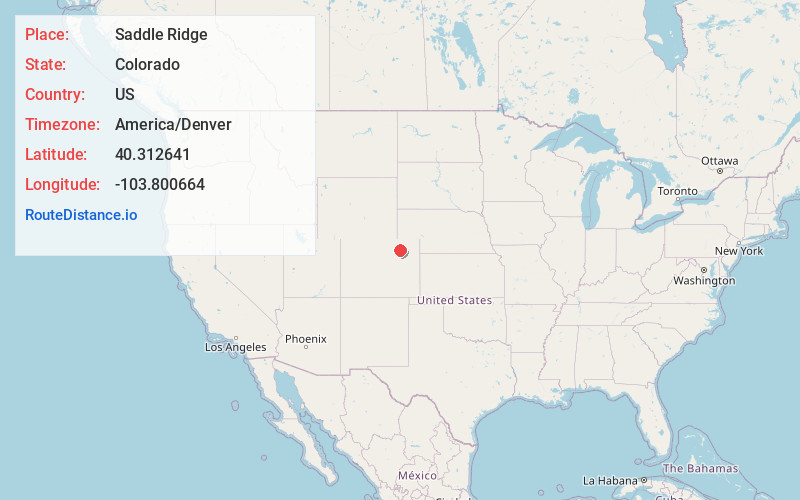
Full AddressSaddle Ridge, CO 80701
-
Coordinates40.3126406, -103.800664
-
LocationSaddle Ridge , Colorado , US
-
TimezoneAmerica/Denver
-
Current Local Time2:01:31 AM America/DenverWednesday, June 18, 2025
-
Page Views0
About Saddle Ridge
Saddle Ridge is an unincorporated community and a census-designated place located in and governed by Morgan County, Colorado, United States. The CDP is a part of the Fort Morgan, CO Micropolitan Statistical Area. The population of the Saddle Ridge CDP was 66 at the United States Census 2020.
Nearby Places
Found 10 places within 50 miles

Morgan Heights
2.2 mi
3.5 km
Morgan Heights, CO 80701
Get directions

Log Lane Village
3.3 mi
5.3 km
Log Lane Village, CO
Get directions

Fort Morgan
4.3 mi
6.9 km
Fort Morgan, CO 80701
Get directions
Trail Side
4.9 mi
7.9 km
Trail Side, CO 80701
Get directions

Weldona
9.2 mi
14.8 km
Weldona, CO 80653
Get directions

Brush
10.0 mi
16.1 km
Brush, CO 80723
Get directions
Snyder
10.8 mi
17.4 km
Snyder, CO 80750
Get directions

Hillrose
14.7 mi
23.7 km
Hillrose, CO 80733
Get directions
Jackson Lake
15.2 mi
24.5 km
Jackson Lake, CO
Get directions

Wiggins
15.4 mi
24.8 km
Wiggins, CO 80654
Get directions
Location Links
Local Weather
Weather Information
Coming soon!
Location Map
Static map view of Saddle Ridge, Colorado
Browse Places by Distance
Places within specific distances from Saddle Ridge
Short Distances
Long Distances
Click any distance to see all places within that range from Saddle Ridge. Distances shown in miles (1 mile ≈ 1.61 kilometers).