Distance to Lambs Creek, Virginia

Calculating Your Route
Just a moment while we process your request...
Location Information
-
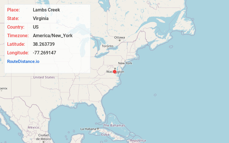
Full AddressLambs Creek, VA 22485
-
Coordinates38.2637392, -77.2691465
-
LocationVirginia , US
-
TimezoneAmerica/New_York
-
Current Local Time8:27:14 AM America/New_YorkWednesday, June 25, 2025
-
Page Views0
About Lambs Creek
Lambs Creek is an unincorporated community in King George County, Virginia, United States.
Nearby Places
Found 10 places within 50 miles

Comorn
2.8 mi
4.5 km
Comorn, King George, VA 22485
Get directions
Moss Neck
3.4 mi
5.5 km
Moss Neck, VA 22408
Get directions
Passapatanzy
3.7 mi
6.0 km
Passapatanzy, VA 22485
Get directions

Fairview Beach
4.7 mi
7.6 km
Fairview Beach, VA 22485
Get directions

King George
4.8 mi
7.7 km
King George, VA 22485
Get directions
White Oak
6.4 mi
10.3 km
White Oak, VA 22405
Get directions
Ambar
6.5 mi
10.5 km
Ambar, VA 22485
Get directions

Port Royal
7.6 mi
12.2 km
Port Royal, VA 22535
Get directions
Corbin
7.9 mi
12.7 km
Corbin, VA 22580
Get directions
Lent
7.9 mi
12.7 km
Lent, VA 22535
Get directions
Location Links
Local Weather
Weather Information
Coming soon!
Location Map
Static map view of Lambs Creek, Virginia
Browse Places by Distance
Places within specific distances from Lambs Creek
Short Distances
Long Distances
Click any distance to see all places within that range from Lambs Creek. Distances shown in miles (1 mile ≈ 1.61 kilometers).