Distance to Lambs Grove, Massachusetts

Calculating Your Route
Just a moment while we process your request...
Location Information
-
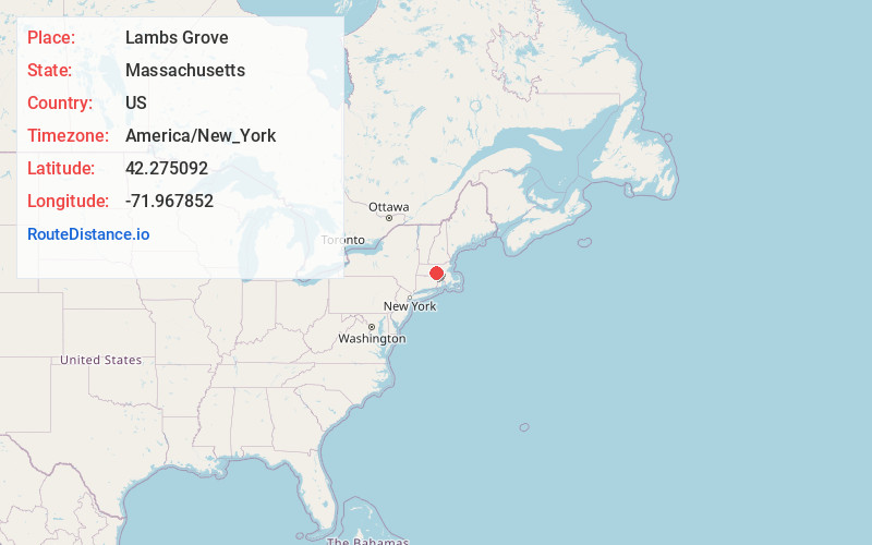
Full AddressLambs Grove, Spencer, MA 01562
-
Coordinates42.275092, -71.9678522
-
NeighborhoodLambs Grove
-
LocationSpencer , Massachusetts , US
-
TimezoneAmerica/New_York
-
Current Local Time5:06:09 PM America/New_YorkTuesday, June 24, 2025
-
Page Views0
Nearby Places
Found 10 places within 50 miles

Upper Wire Village
0.5 mi
0.8 km
Upper Wire Village, Spencer, MA 01562
Get directions
Lower Wire Village
1.5 mi
2.4 km
Lower Wire Village, Spencer, MA 01562
Get directions
Hillsville
2.4 mi
3.9 km
Hillsville, Spencer, MA 01562
Get directions

Spencer
2.6 mi
4.2 km
Spencer, MA
Get directions

Paxton
3.2 mi
5.1 km
Paxton, MA 01612
Get directions

Leicester
3.6 mi
5.8 km
Leicester, MA
Get directions
Turkey Hill Shores
4.4 mi
7.1 km
Turkey Hill Shores, Rutland, MA 01543
Get directions

East Brookfield
5.2 mi
8.4 km
East Brookfield, MA 01515
Get directions
Camp Neyati
5.5 mi
8.9 km
Camp Neyati, Spencer, MA 01562
Get directions
Camp Kinneywood
5.6 mi
9.0 km
Camp Kinneywood, Holden, MA 01520
Get directions
Location Links
Local Weather
Weather Information
Coming soon!
Location Map
Static map view of Lambs Grove, Massachusetts
Browse Places by Distance
Places within specific distances from Lambs Grove
Short Distances
Long Distances
Click any distance to see all places within that range from Lambs Grove. Distances shown in miles (1 mile ≈ 1.61 kilometers).