Distance to Langston, Alabama

Calculating Your Route
Just a moment while we process your request...
Location Information
-
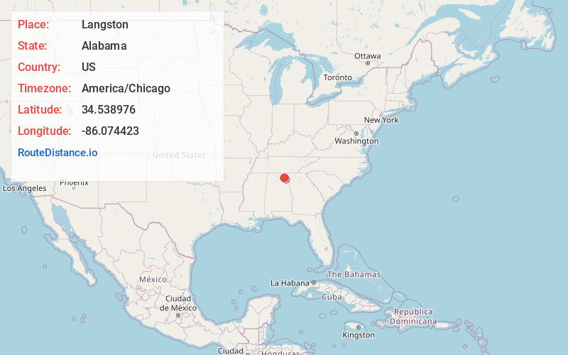
Full AddressLangston, AL 35755
-
Coordinates34.5389756, -86.0744234
-
LocationLangston , Alabama , US
-
TimezoneAmerica/Chicago
-
Current Local Time11:56:59 PM America/ChicagoSunday, June 1, 2025
-
Page Views0
About Langston
Langston is a town in Jackson County, Alabama, United States, and is included in the Chattanooga-Cleveland-Dalton, TN-GA-AL Combined Statistical Area. In the 2010 census, the population was 270, up from 254. It initially incorporated in 1899. At some point after 1920 it disincorporated, then reincorporated in 1980.


Nearby Places
Found 10 places within 50 miles

Section
5.8 mi
9.3 km
Section, AL 35771
Get directions

Scottsboro
9.5 mi
15.3 km
Scottsboro, AL
Get directions

Grant
10.2 mi
16.4 km
Grant, AL 35747
Get directions

Powell
10.2 mi
16.4 km
Powell, AL
Get directions

Dutton
10.2 mi
16.4 km
Dutton, AL 35744
Get directions

Fyffe
11.6 mi
18.7 km
Fyffe, AL
Get directions

Shiloh
12.3 mi
19.8 km
Shiloh, AL
Get directions

Woodville
12.8 mi
20.6 km
Woodville, AL 35776
Get directions

Rainsville
13.3 mi
21.4 km
Rainsville, AL
Get directions
Geraldine
13.6 mi
21.9 km
Geraldine, AL
Get directions
Location Links
Local Weather
Weather Information
Coming soon!
Location Map
Static map view of Langston, Alabama
Browse Places by Distance
Places within specific distances from Langston
Short Distances
Long Distances
Click any distance to see all places within that range from Langston. Distances shown in miles (1 mile ≈ 1.61 kilometers).