Distance to Shiloh, Alabama

Calculating Your Route
Just a moment while we process your request...
Location Information
-
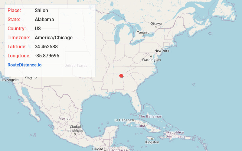
Full AddressShiloh, AL
-
Coordinates34.4625878, -85.8796945
-
LocationShiloh , Alabama , US
-
TimezoneAmerica/Chicago
-
Current Local Time1:33:16 AM America/ChicagoThursday, May 22, 2025
-
Page Views0
About Shiloh
Shiloh is a town in DeKalb County, Alabama, United States. It incorporated in 1962. At the 2020 census, the population was 321. Shiloh is located atop Sand Mountain.
Shiloh is the subject of a dispute over repeated flooding of homes, caused by the expansion and raising of Alabama State Route 75.


Nearby Places
Found 10 places within 50 miles

Fyffe
1.8 mi
2.9 km
Fyffe, AL
Get directions

Rainsville
2.8 mi
4.5 km
Rainsville, AL
Get directions

Powell
4.6 mi
7.4 km
Powell, AL
Get directions

Pine Ridge
5.7 mi
9.2 km
Pine Ridge, AL 35968
Get directions

Sylvania
7.9 mi
12.7 km
Sylvania, AL
Get directions

Fort Payne
9.2 mi
14.8 km
Fort Payne, AL
Get directions
Geraldine
10.3 mi
16.6 km
Geraldine, AL
Get directions

Dutton
10.5 mi
16.9 km
Dutton, AL 35744
Get directions

Section
10.5 mi
16.9 km
Section, AL 35771
Get directions

Henagar
13.5 mi
21.7 km
Henagar, AL
Get directions
Location Links
Local Weather
Weather Information
Coming soon!
Location Map
Static map view of Shiloh, Alabama
Browse Places by Distance
Places within specific distances from Shiloh
Short Distances
Long Distances
Click any distance to see all places within that range from Shiloh. Distances shown in miles (1 mile ≈ 1.61 kilometers).