Distance to Lansing, Ohio

Calculating Your Route
Just a moment while we process your request...
Location Information
-
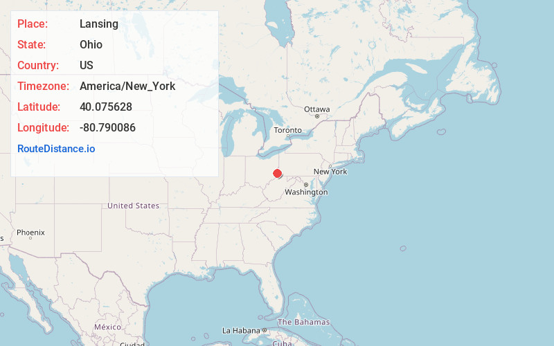
Full AddressLansing, OH
-
Coordinates40.0756276, -80.7900855
-
LocationLansing , Ohio , US
-
TimezoneAmerica/New_York
-
Current Local Time12:26:56 AM America/New_YorkSaturday, June 21, 2025
-
Page Views0
About Lansing
Lansing is a census-designated place in northern Pease Township, Belmont County, Ohio, United States, along Wheeling Creek. As of the 2020 census it had a population of 596. It has a post office with the ZIP code 43934.
Lansing is part of the Wheeling, WV-OH Metropolitan Statistical Area.
Nearby Places
Found 10 places within 50 miles

Blaine
1.5 mi
2.4 km
Blaine, OH
Get directions
Brookside
1.6 mi
2.6 km
Brookside, OH 43912
Get directions

Bridgeport
2.7 mi
4.3 km
Bridgeport, OH 43912
Get directions
Neffs
3.6 mi
5.8 km
Neffs, OH 43906
Get directions

Martins Ferry
3.7 mi
6.0 km
Martins Ferry, OH 43935
Get directions

Wheeling
3.8 mi
6.1 km
Wheeling, WV 26003
Get directions

Bellaire
4.8 mi
7.7 km
Bellaire, OH 43906
Get directions

Benwood
5.0 mi
8.0 km
Benwood, WV
Get directions

Bethlehem
5.7 mi
9.2 km
Bethlehem, WV 26003
Get directions

St Clairsville
5.9 mi
9.5 km
St Clairsville, OH 43950
Get directions
Location Links
Local Weather
Weather Information
Coming soon!
Location Map
Static map view of Lansing, Ohio
Browse Places by Distance
Places within specific distances from Lansing
Short Distances
Long Distances
Click any distance to see all places within that range from Lansing. Distances shown in miles (1 mile ≈ 1.61 kilometers).