Distance to Lapel, Indiana

Calculating Your Route
Just a moment while we process your request...
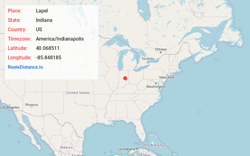
Location Information
-
Full AddressLapel, IN
-
Coordinates40.0685114, -85.848185
-
LocationLapel , Indiana , US
-
TimezoneAmerica/Indianapolis
-
Page Views0
About Lapel
Lapel is a town in Stony Creek and Green townships, Madison County, Indiana, United States. It is part of the Indianapolis–Carmel–Anderson metropolitan statistical area. The population was 2,325 at the 2020 census, up from 2,068 in 2010.
Nearby Places
Found 10 places within 50 miles

Pendleton
7.1 mi
11.4 km
Pendleton, IN
Get directions

Noblesville
8.6 mi
13.8 km
Noblesville, IN
Get directions

Anderson
9.3 mi
15.0 km
Anderson, IN
Get directions

Fortville
9.4 mi
15.1 km
Fortville, IN
Get directions

Cicero
9.5 mi
15.3 km
Cicero, IN
Get directions

Fishers
11.8 mi
19.0 km
Fishers, IN
Get directions

McCordsville
12.6 mi
20.3 km
McCordsville, IN
Get directions

Chesterfield
13.7 mi
22.0 km
Chesterfield, IN
Get directions

Elwood
14.4 mi
23.2 km
Elwood, IN 46036
Get directions

Westfield
14.9 mi
24.0 km
Westfield, IN
Get directions
Location Links
Local Weather
Weather Information
Coming soon!
Location Map
Static map view of Lapel, Indiana
Browse Places by Distance
Places within specific distances from Lapel
Short Distances
Long Distances
Click any distance to see all places within that range from Lapel. Distances shown in miles (1 mile ≈ 1.61 kilometers).