Distance to Lapine, Alabama

Calculating Your Route
Just a moment while we process your request...
Location Information
-
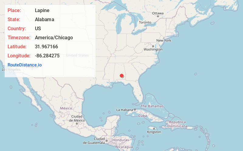
Full AddressLapine, AL
-
Coordinates31.9671661, -86.2842749
-
LocationLapine , Alabama , US
-
TimezoneAmerica/Chicago
-
Current Local Time12:48:35 PM America/ChicagoTuesday, July 1, 2025
-
Page Views0
About Lapine
Lapine is an unincorporated community in Montgomery and Crenshaw counties in the U.S. state of Alabama. Lapine is 27.6 miles south of Montgomery. Lapine has a post office with ZIP code 36046, which opened on July 12, 1887.
Nearby Places
Found 10 places within 50 miles

Highland Home
2.0 mi
3.2 km
Highland Home, AL 36041
Get directions

Magnolia Shores
2.5 mi
4.0 km
Magnolia Shores, AL 36041
Get directions
Naftel
2.9 mi
4.7 km
Naftel, AL 36036
Get directions
Strata
4.7 mi
7.6 km
Strata, AL 36046
Get directions
Bradleyton
5.1 mi
8.2 km
Bradleyton, AL 36036
Get directions

Grady
5.2 mi
8.4 km
Grady, AL 36036
Get directions
Sellers
6.3 mi
10.1 km
Sellers, AL 36046
Get directions
Garnersville
6.3 mi
10.1 km
Garnersville, AL 36041
Get directions
Saville
6.8 mi
10.9 km
Saville, AL 36049
Get directions

Ramer
6.8 mi
10.9 km
Ramer, AL 36069
Get directions
Location Links
Local Weather
Weather Information
Coming soon!
Location Map
Static map view of Lapine, Alabama
Browse Places by Distance
Places within specific distances from Lapine
Short Distances
Long Distances
Click any distance to see all places within that range from Lapine. Distances shown in miles (1 mile ≈ 1.61 kilometers).