Distance to Ramer, Alabama

Calculating Your Route
Just a moment while we process your request...
Location Information
-
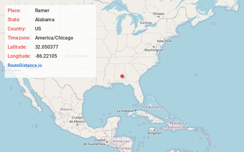
Full AddressRamer, AL 36069
-
Coordinates32.0503773, -86.2210503
-
LocationRamer , Alabama , US
-
TimezoneAmerica/Chicago
-
Current Local Time9:58:03 PM America/ChicagoWednesday, June 18, 2025
-
Page Views0
About Ramer
Ramer, also known as Athens, is an unincorporated community located in Montgomery County, Alabama, United States. The elevation is 469 feet. The community is located 23.9 miles from the city of Montgomery.

Nearby Places
Found 10 places within 50 miles

Petrey
14.0 mi
22.5 km
Petrey, AL 36049
Get directions

Pike Rd
16.1 mi
25.9 km
Pike Rd, AL
Get directions

Fort Deposit
21.4 mi
34.4 km
Fort Deposit, AL 36032
Get directions

Troy
22.3 mi
35.9 km
Troy, AL
Get directions

Fitzpatrick
22.6 mi
36.4 km
Fitzpatrick, AL 36029
Get directions

Rutledge
22.7 mi
36.5 km
Rutledge, AL
Get directions
Hayneville
23.0 mi
37.0 km
Hayneville, AL 36040
Get directions

Luverne
23.2 mi
37.3 km
Luverne, AL 36049
Get directions

Montgomery
23.3 mi
37.5 km
Montgomery, AL
Get directions

Goshen
23.4 mi
37.7 km
Goshen, AL 36035
Get directions
Location Links
Local Weather
Weather Information
Coming soon!
Location Map
Static map view of Ramer, Alabama
Browse Places by Distance
Places within specific distances from Ramer
Short Distances
Long Distances
Click any distance to see all places within that range from Ramer. Distances shown in miles (1 mile ≈ 1.61 kilometers).