Distance to Petrey, Alabama

Calculating Your Route
Just a moment while we process your request...
Location Information
-
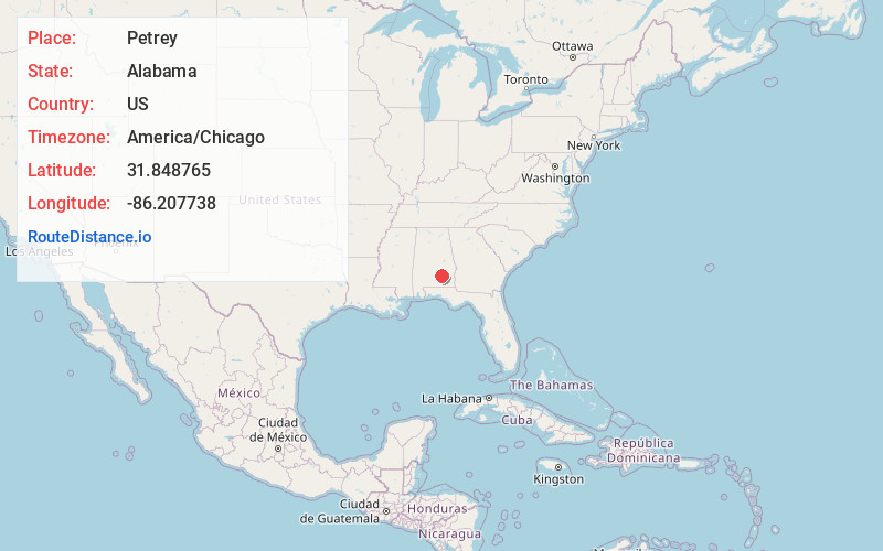
Full AddressPetrey, AL 36049
-
Coordinates31.8487645, -86.2077382
-
LocationPetrey , Alabama , US
-
TimezoneAmerica/Chicago
-
Current Local Time6:21:26 PM America/ChicagoFriday, June 20, 2025
-
Page Views0
About Petrey
Petrey is a town in Crenshaw County, Alabama, United States. The population was 58 at the 2010 census.


Nearby Places
Found 10 places within 50 miles

Luverne
9.7 mi
15.6 km
Luverne, AL 36049
Get directions

Rutledge
10.1 mi
16.3 km
Rutledge, AL
Get directions

Goshen
10.2 mi
16.4 km
Goshen, AL 36035
Get directions

Glenwood
12.9 mi
20.8 km
Glenwood, AL
Get directions

Troy
14.2 mi
22.9 km
Troy, AL
Get directions

Brantley
18.6 mi
29.9 km
Brantley, AL 36009
Get directions
Banks
21.5 mi
34.6 km
Banks, AL
Get directions
Fort Deposit
23.7 mi
38.1 km
Fort Deposit, AL 36032
Get directions

Greenville
24.1 mi
38.8 km
Greenville, AL 36037
Get directions

Brundidge
24.7 mi
39.8 km
Brundidge, AL
Get directions
Location Links
Local Weather
Weather Information
Coming soon!
Location Map
Static map view of Petrey, Alabama
Browse Places by Distance
Places within specific distances from Petrey
Short Distances
Long Distances
Click any distance to see all places within that range from Petrey. Distances shown in miles (1 mile ≈ 1.61 kilometers).