Distance to Laquey, Missouri

Calculating Your Route
Just a moment while we process your request...
Location Information
-
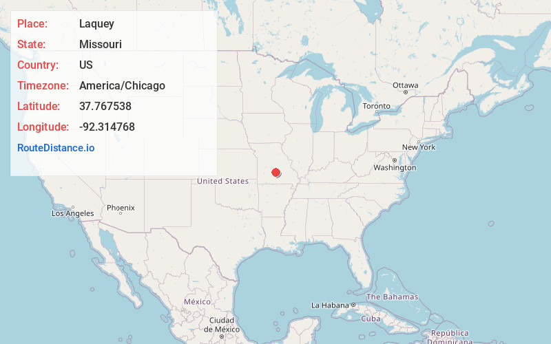
Full AddressLaquey, MO 65534
-
Coordinates37.7675375, -92.3147677
-
LocationLaquey , Missouri , US
-
TimezoneAmerica/Chicago
-
Current Local Time11:05:55 PM America/ChicagoSunday, May 25, 2025
-
Page Views0
About Laquey
Laquey is an unincorporated community in Pulaski County, Missouri, United States. It has Zip Code: 65534 and Area Code: 573.
The community is on Missouri Route P approximately one mile south of I-44. It is about seven miles southwest of Waynesville and five miles west of the northwest corner of Fort Leonard Wood.


Nearby Places
Found 10 places within 50 miles

Stillhouse Springs
2.6 mi
4.2 km
Stillhouse Springs, Liberty Township, MO 65556
Get directions
Turkey Ridge
3.8 mi
6.1 km
Turkey Ridge, Liberty Township, MO 65583
Get directions
Hazelgreen
6.2 mi
10.0 km
Hazelgreen, May/Smith Township, MO 65556
Get directions

Roubidoux Spring
7.3 mi
11.7 km
Roubidoux Spring, Waynesville, MO 65583
Get directions

Waynesville
7.5 mi
12.1 km
Waynesville, MO 65583
Get directions

Richland
7.9 mi
12.7 km
Richland, MO 65556
Get directions

Greenview
8.3 mi
13.4 km
Greenview, Roubidoux Township, MO 65534
Get directions

St Robert
8.6 mi
13.8 km
St Robert, MO
Get directions
Garnsey
8.7 mi
14.0 km
Garnsey, May/Smith Township, MO 65556
Get directions

Fort Leonard Wood
8.7 mi
14.0 km
Fort Leonard Wood, MO
Get directions
Location Links
Local Weather
Weather Information
Coming soon!
Location Map
Static map view of Laquey, Missouri
Browse Places by Distance
Places within specific distances from Laquey
Short Distances
Long Distances
Click any distance to see all places within that range from Laquey. Distances shown in miles (1 mile ≈ 1.61 kilometers).