Distance to Larland, Iowa

Calculating Your Route
Just a moment while we process your request...
Location Information
-
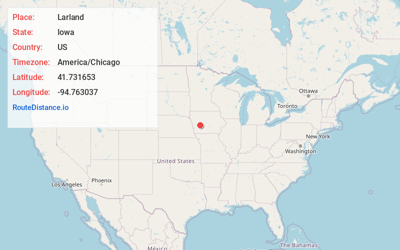
Full AddressLarland, IA 50025
-
Coordinates41.731653, -94.7630367
-
LocationIowa , US
-
TimezoneAmerica/Chicago
-
Current Local Time3:38:14 AM America/ChicagoWednesday, June 25, 2025
-
Page Views0
About Larland
Larland was a rural unincorporated community in Audubon County, Iowa, in the United States. It was located about 9 miles east of Aududon, the county seat, in Melville Township.
Nearby Places
Found 10 places within 50 miles

Viola Center
5.5 mi
8.9 km
Viola Center, IA 50025
Get directions
North Branch
6.4 mi
10.3 km
North Branch, IA 50002
Get directions
Nishna
8.4 mi
13.5 km
Nishna, IA 50025
Get directions
Hamlin
8.8 mi
14.2 km
Hamlin, IA 50117
Get directions

Audubon
8.8 mi
14.2 km
Audubon, IA 50025
Get directions
Coon Rapids
10.6 mi
17.1 km
Coon Rapids, IA 50058
Get directions
Kenfield
11.0 mi
17.7 km
Kenfield, IA 50076
Get directions
Exira
11.3 mi
18.2 km
Exira, IA 50076
Get directions
Dedham
12.4 mi
20.0 km
Dedham, IA 51440
Get directions
Bayard
13.4 mi
21.6 km
Bayard, IA 50029
Get directions
Location Links
Local Weather
Weather Information
Coming soon!
Location Map
Static map view of Larland, Iowa
Browse Places by Distance
Places within specific distances from Larland
Short Distances
Long Distances
Click any distance to see all places within that range from Larland. Distances shown in miles (1 mile ≈ 1.61 kilometers).