Distance to Exira, Iowa

Calculating Your Route
Just a moment while we process your request...
Location Information
-
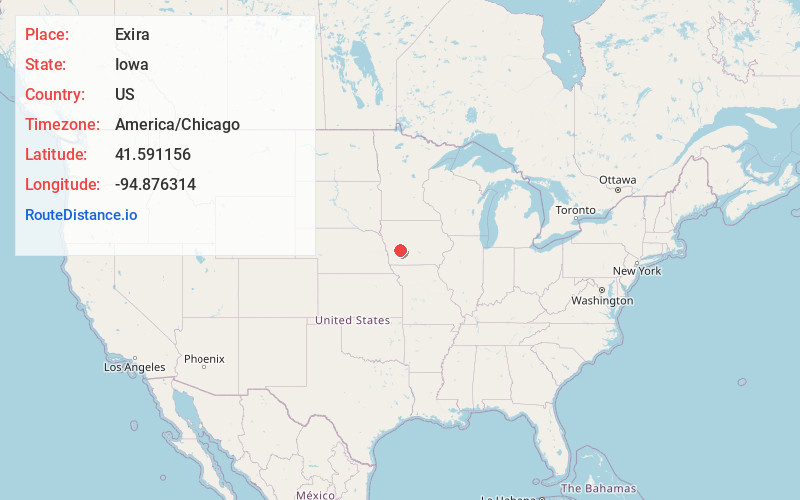
Full AddressExira, IA 50076
-
Coordinates41.591156, -94.8763141
-
LocationExira , Iowa , US
-
TimezoneAmerica/Chicago
-
Current Local Time5:23:29 AM America/ChicagoWednesday, May 21, 2025
-
Page Views0
About Exira
Exira is a city in Audubon County, Iowa, United States, along the East Nishnabotna River and U.S. Route 71. The population was 787 at the time of the 2020 census.
Nearby Places
Found 10 places within 50 miles

Audubon
9.2 mi
14.8 km
Audubon, IA 50025
Get directions

Anita
11.7 mi
18.8 km
Anita, IA 50020
Get directions

Atlantic
14.8 mi
23.8 km
Atlantic, IA 50022
Get directions

Walnut
19.5 mi
31.4 km
Walnut, IA 51577
Get directions

Guthrie Center
20.2 mi
32.5 km
Guthrie Center, IA
Get directions

Coon Rapids
21.9 mi
35.2 km
Coon Rapids, IA 50058
Get directions

Harlan
23.6 mi
38.0 km
Harlan, IA 51537
Get directions

Manning
24.0 mi
38.6 km
Manning, IA 51455
Get directions

Avoca
25.2 mi
40.6 km
Avoca, IA 51521
Get directions

Lake Panorama
25.8 mi
41.5 km
Lake Panorama, Iowa
Get directions
Location Links
Local Weather
Weather Information
Coming soon!
Location Map
Static map view of Exira, Iowa
Browse Places by Distance
Places within specific distances from Exira
Short Distances
Long Distances
Click any distance to see all places within that range from Exira. Distances shown in miles (1 mile ≈ 1.61 kilometers).