Distance to Manning, Iowa

Calculating Your Route
Just a moment while we process your request...
Location Information
-
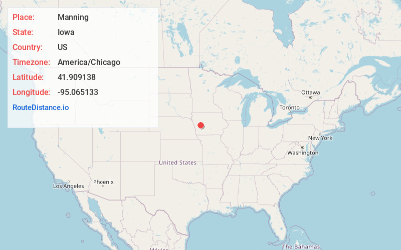
Full AddressManning, IA 51455
-
Coordinates41.9091382, -95.0651328
-
LocationManning , Iowa , US
-
TimezoneAmerica/Chicago
-
Current Local Time4:41:28 AM America/ChicagoWednesday, June 25, 2025
-
Page Views0
About Manning
Manning is a city in Carroll County, Iowa, United States, along Iowa Highway 141. The population was 1,455 at the time of the 2020 census. It is named for Orlando Harrison Manning, a Lieutenant Governor of Iowa.


Nearby Places
Found 10 places within 50 miles

Carroll
14.8 mi
23.8 km
Carroll, IA 51401
Get directions

Audubon
14.9 mi
24.0 km
Audubon, IA 50025
Get directions

Denison
17.1 mi
27.5 km
Denison, IA 51442
Get directions

Harlan
22.2 mi
35.7 km
Harlan, IA 51537
Get directions

Dunlap
27.9 mi
44.9 km
Dunlap, IA 51529
Get directions

Lake City
30.0 mi
48.3 km
Lake City, IA 51449
Get directions

Guthrie Center
33.1 mi
53.3 km
Guthrie Center, IA
Get directions

Atlantic
35.0 mi
56.3 km
Atlantic, IA 50022
Get directions

Sac City
35.7 mi
57.5 km
Sac City, IA 50583
Get directions

Jefferson
36.1 mi
58.1 km
Jefferson, IA 50129
Get directions
Location Links
Local Weather
Weather Information
Coming soon!
Location Map
Static map view of Manning, Iowa
Browse Places by Distance
Places within specific distances from Manning
Short Distances
Long Distances
Click any distance to see all places within that range from Manning. Distances shown in miles (1 mile ≈ 1.61 kilometers).