Distance to Larslan, Montana

Calculating Your Route
Just a moment while we process your request...
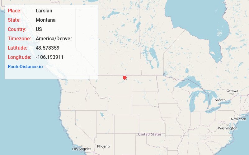
Location Information
-
Full AddressLarslan, MT 59244
-
Coordinates48.5783589, -106.1939107
-
LocationLarslan , Montana , US
-
TimezoneAmerica/Denver
-
Current Local Time9:20:34 PM America/DenverThursday, June 19, 2025
-
Page Views0
About Larslan
Larslan is an unincorporated community in Valley County, Montana, United States. Larslan is 20 miles northeast of St. Marie. The community has a post office with ZIP code 59244. Next to the post office there is an old one-room school house, play structure and basketball court.
The Larslan post office opened in 1918.
Nearby Places
Found 10 places within 50 miles

West Fork
14.9 mi
24.0 km
West Fork, MT 59253
Get directions
St Marie
19.7 mi
31.7 km
St Marie, MT
Get directions

Opheim
21.6 mi
34.8 km
Opheim, MT
Get directions
Volt
25.4 mi
40.9 km
Volt, MT 59201
Get directions
Butte Creek
26.2 mi
42.2 km
Butte Creek, MT 59260
Get directions
Roanwood
28.7 mi
46.2 km
Roanwood, MT 59250
Get directions

Four Buttes
31.2 mi
50.2 km
Four Buttes, MT 59263
Get directions
Nashua
31.7 mi
51.0 km
Nashua, MT 59248
Get directions
Whately
32.2 mi
51.8 km
Whately, MT 59230
Get directions

Glasgow
33.3 mi
53.6 km
Glasgow, MT 59230
Get directions
Location Links
Local Weather
Weather Information
Coming soon!
Location Map
Static map view of Larslan, Montana
Browse Places by Distance
Places within specific distances from Larslan
Short Distances
Long Distances
Click any distance to see all places within that range from Larslan. Distances shown in miles (1 mile ≈ 1.61 kilometers).