Distance to West Fork, Montana

Calculating Your Route
Just a moment while we process your request...
Location Information
-
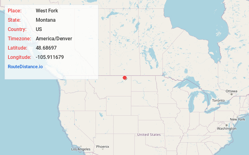
Full AddressWest Fork, MT 59253
-
Coordinates48.6869698, -105.9116789
-
LocationWest Fork , Montana , US
-
TimezoneAmerica/Denver
-
Current Local Time3:22:27 PM America/DenverWednesday, June 18, 2025
-
Page Views0
Nearby Places
Found 10 places within 50 miles

Butte Creek
13.8 mi
22.2 km
Butte Creek, MT 59260
Get directions

Scobey
23.5 mi
37.8 km
Scobey, MT 59263
Get directions

Opheim
25.4 mi
40.9 km
Opheim, MT
Get directions
Roanwood
31.9 mi
51.3 km
Roanwood, MT 59250
Get directions
St Marie
34.6 mi
55.7 km
St Marie, MT
Get directions

Flaxville
34.6 mi
55.7 km
Flaxville, MT 59222
Get directions
Whitetail
37.0 mi
59.5 km
Whitetail, MT 59276
Get directions
Pleasant Prairie
38.4 mi
61.8 km
Pleasant Prairie, MT 59222
Get directions

Wolf Point
43.0 mi
69.2 km
Wolf Point, MT 59201
Get directions
Nashua
43.4 mi
69.8 km
Nashua, MT 59248
Get directions
Location Links
Local Weather
Weather Information
Coming soon!
Location Map
Static map view of West Fork, Montana
Browse Places by Distance
Places within specific distances from West Fork
Short Distances
Long Distances
Click any distance to see all places within that range from West Fork. Distances shown in miles (1 mile ≈ 1.61 kilometers).