Distance to Latrobe, California

Calculating Your Route
Just a moment while we process your request...
Location Information
-
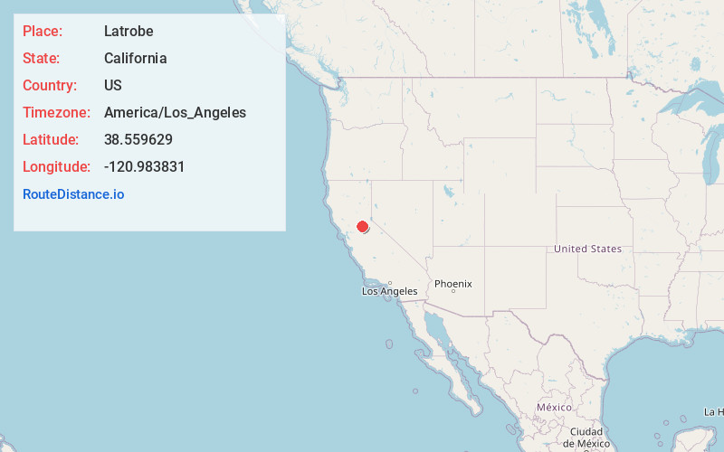
Full AddressLatrobe, CA 95682
-
Coordinates38.559629, -120.9838307
-
LocationLatrobe , California , US
-
TimezoneAmerica/Los_Angeles
-
Current Local Time1:47:05 AM America/Los_AngelesWednesday, June 4, 2025
-
Page Views0
About Latrobe
Latrobe is an unincorporated community in El Dorado County, California. Today a small community with a 2010 census population of 219, in its heyday it was an important railroad town with a population of 700 to 800.
Latrobe was the terminus of the Placerville and Sacramento Rail Road. The name, bestowed by F. A.


Nearby Places
Found 10 places within 50 miles

Shrub
2.8 mi
4.5 km
Shrub, CA 95682
Get directions
Dugan
3.4 mi
5.5 km
Dugan, CA 95682
Get directions

Rancho Murieta
7.2 mi
11.6 km
Rancho Murieta, CA 95683
Get directions

Cameron Park
7.5 mi
12.1 km
Cameron Park, CA
Get directions

Shingle Springs
8.0 mi
12.9 km
Shingle Springs, CA 95682
Get directions

Plymouth
9.2 mi
14.8 km
Plymouth, CA 95669
Get directions
Drytown
10.8 mi
17.4 km
Drytown, CA
Get directions
Cosumne
11.3 mi
18.2 km
Cosumne, CA 95683
Get directions

Sloughhouse
12.2 mi
19.6 km
Sloughhouse, CA
Get directions

Folsom
12.3 mi
19.8 km
Folsom, CA
Get directions
Location Links
Local Weather
Weather Information
Coming soon!
Location Map
Static map view of Latrobe, California
Browse Places by Distance
Places within specific distances from Latrobe
Short Distances
Long Distances
Click any distance to see all places within that range from Latrobe. Distances shown in miles (1 mile ≈ 1.61 kilometers).