Distance to Laurel Fork, Virginia

Calculating Your Route
Just a moment while we process your request...
Location Information
-
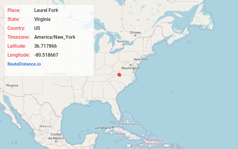
Full AddressLaurel Fork, VA 24352
-
Coordinates36.7178661, -80.5186673
-
LocationLaurel Fork , Virginia , US
-
TimezoneAmerica/New_York
-
Current Local Time4:31:56 PM America/New_YorkThursday, June 19, 2025
-
Page Views0
About Laurel Fork
Laurel Fork is an unincorporated community in Carroll County, Virginia, United States. It is located off U.S. Route 58 and is 12.4 miles east-southeast of Hillsville. Laurel Fork has a post office with the ZIP code 24352.


Nearby Places
Found 10 places within 50 miles

Pike City
2.2 mi
3.5 km
Pike City, VA 24352
Get directions
Crooked Oak
4.9 mi
7.9 km
Crooked Oak, VA 24343
Get directions
Gladesboro
5.5 mi
8.9 km
Gladesboro, VA 24343
Get directions
Belair Springs
6.7 mi
10.8 km
Belair Springs, VA 24120
Get directions

Meadows of Dan
7.0 mi
11.3 km
Meadows of Dan, VA 24120
Get directions
Carters Mill
8.2 mi
13.2 km
Carters Mill, VA 24053
Get directions

Ararat
8.2 mi
13.2 km
Ararat, VA 24053
Get directions

Dugspur
8.6 mi
13.8 km
Dugspur, VA 24325
Get directions
Vesta
8.9 mi
14.3 km
Vesta, VA 24120
Get directions

Willis
9.9 mi
15.9 km
Willis, VA 24380
Get directions
Location Links
Local Weather
Weather Information
Coming soon!
Location Map
Static map view of Laurel Fork, Virginia
Browse Places by Distance
Places within specific distances from Laurel Fork
Short Distances
Long Distances
Click any distance to see all places within that range from Laurel Fork. Distances shown in miles (1 mile ≈ 1.61 kilometers).