Distance to Meadows of Dan, Virginia

Calculating Your Route
Just a moment while we process your request...
Location Information
-
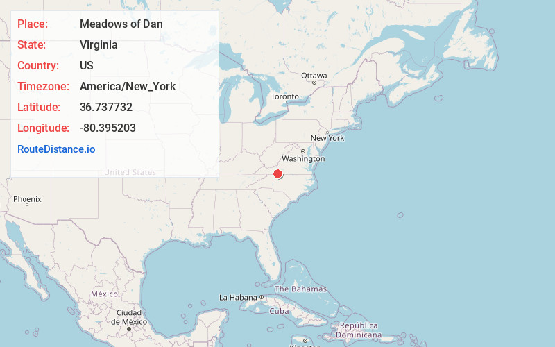
Full AddressMeadows of Dan, VA 24120
-
Coordinates36.7377315, -80.3952034
-
LocationMeadows of Dan , Virginia , US
-
TimezoneAmerica/New_York
-
Current Local Time3:07:05 PM America/New_YorkFriday, June 20, 2025
-
Page Views0
About Meadows of Dan
Meadows of Dan is an unincorporated community and census-designated place in Patrick County, Virginia, United States, where the Blue Ridge Parkway crosses U.S. Route 58. It was first listed as a CDP in the 2020 census with a population of 72.


Nearby Places
Found 10 places within 50 miles

Stuart
9.9 mi
15.9 km
Stuart, VA 24171
Get directions

Floyd
12.7 mi
20.4 km
Floyd, VA 24091
Get directions

Patrick Springs
12.9 mi
20.8 km
Patrick Springs, VA
Get directions

Cana
18.4 mi
29.6 km
Cana, VA 24317
Get directions

Hillsville
18.9 mi
30.4 km
Hillsville, VA 24343
Get directions

Mt Airy
20.1 mi
32.3 km
Mt Airy, NC 27030
Get directions

Toast
21.1 mi
34.0 km
Toast, NC 27030
Get directions
Bassett
22.5 mi
36.2 km
Bassett, VA 24055
Get directions

Riner
22.9 mi
36.9 km
Riner, VA 24149
Get directions

Allisonia
23.4 mi
37.7 km
Allisonia, VA
Get directions
Location Links
Local Weather
Weather Information
Coming soon!
Location Map
Static map view of Meadows of Dan, Virginia
Browse Places by Distance
Places within specific distances from Meadows of Dan
Short Distances
Long Distances
Click any distance to see all places within that range from Meadows of Dan. Distances shown in miles (1 mile ≈ 1.61 kilometers).