Distance to Laurel Grove, Oregon

Calculating Your Route
Just a moment while we process your request...
Location Information
-
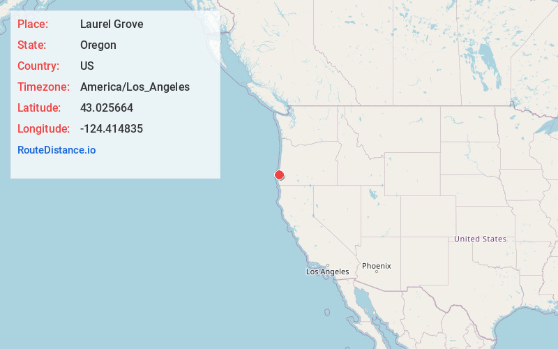
Full AddressLaurel Grove, OR 97411
-
Coordinates43.0256639, -124.4148346
-
LocationLaurel Grove , Oregon , US
-
TimezoneAmerica/Los_Angeles
-
Current Local Time7:21:55 AM America/Los_AngelesSaturday, June 21, 2025
-
Page Views0
About Laurel Grove
Laurel Grove is an unincorporated community in Coos County, Oregon, United States. It lies along U.S. Route 101 south of Bandon and east of Bandon State Natural Area.
Nearby Places
Found 10 places within 50 miles

Dew Valley
1.0 mi
1.6 km
Dew Valley, OR 97411
Get directions
Fourmile
1.2 mi
1.9 km
Fourmile, OR 97411
Get directions

Bandon
6.5 mi
10.5 km
Bandon, OR 97411
Get directions
Winterville
7.2 mi
11.6 km
Winterville, OR 97411
Get directions

Langlois
7.3 mi
11.7 km
Langlois, OR 97450
Get directions
Bullards
8.6 mi
13.8 km
Bullards, OR 97411
Get directions
Prosper
8.7 mi
14.0 km
Prosper, OR 97411
Get directions
Riverton
11.6 mi
18.7 km
Riverton, OR 97423
Get directions

Arago
12.5 mi
20.1 km
Arago, OR 97458
Get directions

Myrtle Point
14.2 mi
22.9 km
Myrtle Point, OR 97458
Get directions
Location Links
Local Weather
Weather Information
Coming soon!
Location Map
Static map view of Laurel Grove, Oregon
Browse Places by Distance
Places within specific distances from Laurel Grove
Short Distances
Long Distances
Click any distance to see all places within that range from Laurel Grove. Distances shown in miles (1 mile ≈ 1.61 kilometers).