Distance to Laurel Mountain, Pennsylvania

Calculating Your Route
Just a moment while we process your request...
Location Information
-
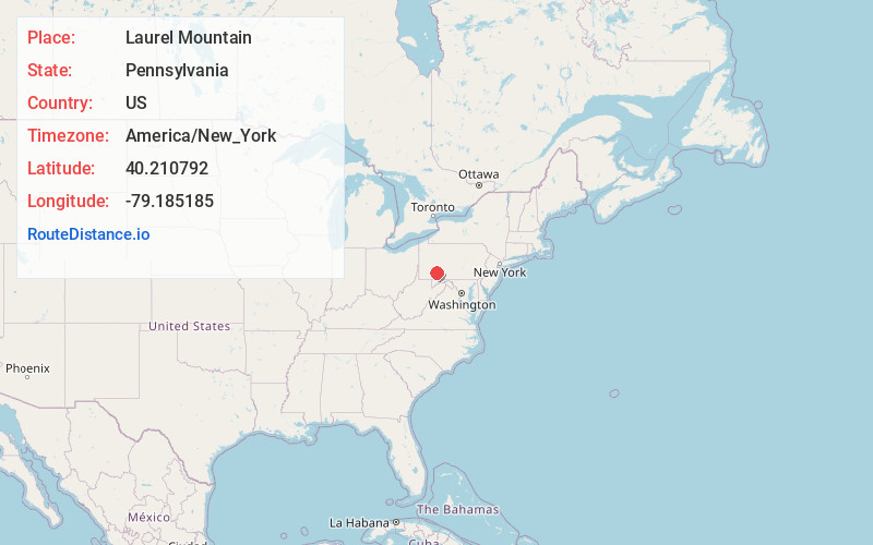
Full AddressLaurel Mountain, PA 15655
-
Coordinates40.2107916, -79.1851852
-
LocationLaurel Mountain , Pennsylvania , US
-
TimezoneAmerica/New_York
-
Current Local Time9:52:23 AM America/New_YorkThursday, June 19, 2025
-
Page Views0
About Laurel Mountain
Laurel Mountain is a borough that is located in Westmoreland County, Pennsylvania, United States. The population was 185 at the time of the 2000 census.
Situated at the foot of Laurel Mountain, the borough lies near numerous limestone caves and is surrounded by venues for skiing, hiking, and other outdoor activities.
Nearby Places
Found 10 places within 50 miles

Shirley
2.7 mi
4.3 km
Shirley, Ligonier Township, PA 15658
Get directions

Ligonier
3.6 mi
5.8 km
Ligonier, PA 15658
Get directions

Cook Township
5.8 mi
9.3 km
Cook Township, PA
Get directions
Jennerstown
7.2 mi
11.6 km
Jennerstown, PA
Get directions
Boswell
8.9 mi
14.3 km
Boswell, PA 15531
Get directions

Derry
10.4 mi
16.7 km
Derry, PA 15627
Get directions
Randolph
10.6 mi
17.1 km
Randolph, PA 15531
Get directions
Jerome
10.6 mi
17.1 km
Jerome, PA 15935
Get directions

Youngstown
10.6 mi
17.1 km
Youngstown, PA 15650
Get directions
Millwood
11.0 mi
17.7 km
Millwood, PA 15627
Get directions
Location Links
Local Weather
Weather Information
Coming soon!
Location Map
Static map view of Laurel Mountain, Pennsylvania
Browse Places by Distance
Places within specific distances from Laurel Mountain
Short Distances
Long Distances
Click any distance to see all places within that range from Laurel Mountain. Distances shown in miles (1 mile ≈ 1.61 kilometers).