Distance to Laurel Point, West Virginia

Calculating Your Route
Just a moment while we process your request...
Location Information
-
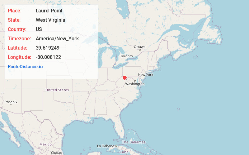
Full AddressLaurel Point, WV 26501
-
Coordinates39.6192486, -80.0081219
-
LocationWest Virginia , US
-
TimezoneAmerica/New_York
-
Current Local Time10:59:01 PM America/New_YorkWednesday, June 18, 2025
-
Page Views0
About Laurel Point
Laurel Point is an unincorporated community in Monongalia County, West Virginia, United States.
Nearby Places
Found 10 places within 50 miles

Delmar
1.0 mi
1.6 km
Delmar, WV 26501
Get directions
Booth
1.6 mi
2.6 km
Booth, WV 26501
Get directions
Hilderbrand
2.1 mi
3.4 km
Hilderbrand, WV 26501
Get directions

Granville
2.2 mi
3.5 km
Granville, WV
Get directions

Westover
2.3 mi
3.7 km
Westover, WV
Get directions

Osage
2.7 mi
4.3 km
Osage, WV
Get directions
Uffington
2.8 mi
4.5 km
Uffington, WV 26508
Get directions
National
2.9 mi
4.7 km
National, WV 26501
Get directions
Randall
2.9 mi
4.7 km
Randall, WV 26534
Get directions

Star City
2.9 mi
4.7 km
Star City, WV
Get directions
Location Links
Local Weather
Weather Information
Coming soon!
Location Map
Static map view of Laurel Point, West Virginia
Browse Places by Distance
Places within specific distances from Laurel Point
Short Distances
Long Distances
Click any distance to see all places within that range from Laurel Point. Distances shown in miles (1 mile ≈ 1.61 kilometers).