Distance to Laurel, Oregon

Calculating Your Route
Just a moment while we process your request...
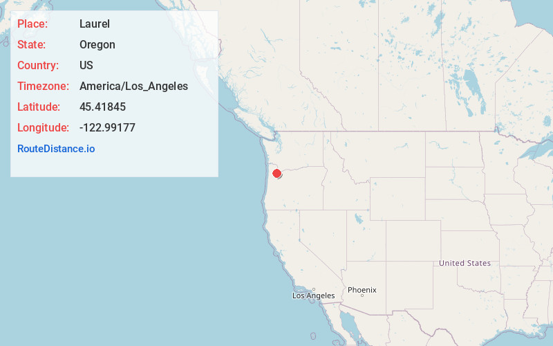
Location Information
-
Full AddressLaurel, OR 97123
-
Coordinates45.4184502, -122.99177
-
LocationLaurel , Oregon , US
-
TimezoneAmerica/Los_Angeles
-
Current Local Time7:28:00 PM America/Los_AngelesWednesday, June 18, 2025
-
Page Views0
About Laurel
Laurel is an unincorporated community in Washington County, Oregon, United States. Settled in 1872, the community is located between Hillsboro and Newberg, in the southern portion of the Tualatin Valley in the foothills of the Chehalem Mountains. The community retains its agricultural heritage.

Nearby Places
Found 10 places within 50 miles

Midway
1.7 mi
2.7 km
Midway, OR 97123
Get directions
Buckheaven
2.9 mi
4.7 km
Buckheaven, OR 97123
Get directions
Farmington
3.0 mi
4.8 km
Farmington, OR 97007
Get directions
Scholls
3.4 mi
5.5 km
Scholls, OR 97123
Get directions
Laurelwood
4.3 mi
6.9 km
Laurelwood, OR 97119
Get directions

Kinton
5.6 mi
9.0 km
Kinton, OR 97007
Get directions
Hazeldale
5.8 mi
9.3 km
Hazeldale, OR 97007
Get directions

Hillsboro
7.0 mi
11.3 km
Hillsboro, OR
Get directions

Gaston
7.4 mi
11.9 km
Gaston, OR 97119
Get directions
Patton
7.6 mi
12.2 km
Patton, OR 97119
Get directions
Location Links
Local Weather
Weather Information
Coming soon!
Location Map
Static map view of Laurel, Oregon
Browse Places by Distance
Places within specific distances from Laurel
Short Distances
Long Distances
Click any distance to see all places within that range from Laurel. Distances shown in miles (1 mile ≈ 1.61 kilometers).