Distance to Lavender, Georgia

Calculating Your Route
Just a moment while we process your request...
Location Information
-
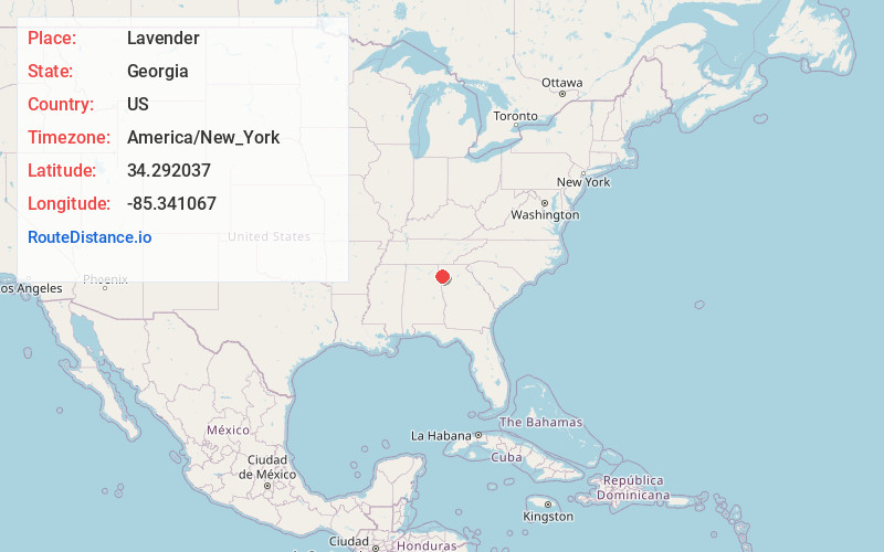
Full AddressLavender, GA 30165
-
Coordinates34.2920366, -85.3410667
-
LocationGeorgia , US
-
TimezoneAmerica/New_York
-
Current Local Time2:55:16 PM America/New_YorkMonday, June 23, 2025
-
Page Views0
Nearby Places
Found 10 places within 50 miles

Oreburg
2.6 mi
4.2 km
Oreburg, GA 30165
Get directions
Coosa
2.7 mi
4.3 km
Coosa, GA 30165
Get directions
Sprite
3.1 mi
5.0 km
Sprite, GA 30730
Get directions
Benton
3.2 mi
5.1 km
Benton, GA 30165
Get directions
Fouche
5.1 mi
8.2 km
Fouche, GA 30165
Get directions

Livingston
5.5 mi
8.9 km
Livingston, GA 30161
Get directions

Floyd County
6.3 mi
10.1 km
Floyd County, GA
Get directions
Silver Hill
7.8 mi
12.6 km
Silver Hill, GA 30747
Get directions

Lyerly
8.5 mi
13.7 km
Lyerly, GA 30730
Get directions
Horseleg Estates
8.7 mi
14.0 km
Horseleg Estates, GA 30165
Get directions
Location Links
Local Weather
Weather Information
Coming soon!
Location Map
Static map view of Lavender, Georgia
Browse Places by Distance
Places within specific distances from Lavender
Short Distances
Long Distances
Click any distance to see all places within that range from Lavender. Distances shown in miles (1 mile ≈ 1.61 kilometers).