Distance to Coosa, Georgia

Calculating Your Route
Just a moment while we process your request...
Location Information
-
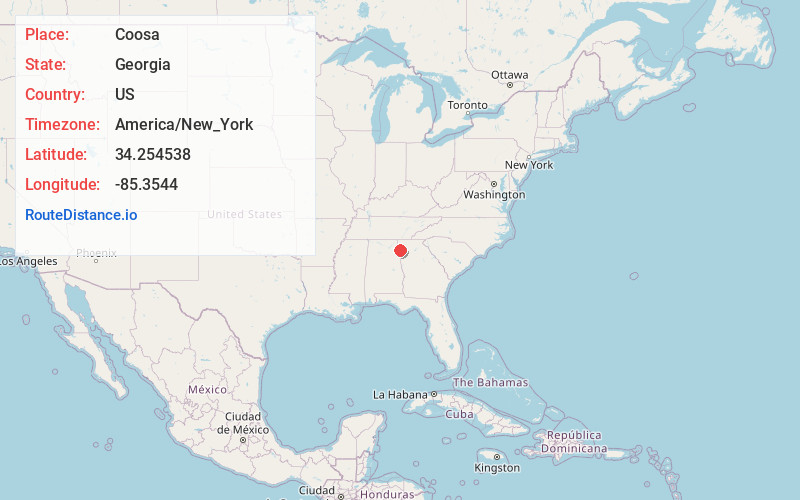
Full AddressCoosa, GA 30165
-
Coordinates34.2545377, -85.3544002
-
LocationCoosa , Georgia , US
-
TimezoneAmerica/New_York
-
Current Local Time2:42:33 PM America/New_YorkFriday, May 30, 2025
-
Page Views0
About Coosa
Coosa is an unincorporated community in Floyd County, Georgia, United States. The community is located at the intersection of Georgia routes 20 and 100, north of the Coosa River, 11 miles west of Rome. Coosa has a post office with ZIP code 30129, which opened on December 28, 1846.
Nearby Places
Found 10 places within 50 miles

Livingston
2.9 mi
4.7 km
Livingston, GA 30161
Get directions

Cave Spring
10.2 mi
16.4 km
Cave Spring, GA 30124
Get directions

Rome
10.6 mi
17.1 km
Rome, GA
Get directions

Lyerly
10.7 mi
17.2 km
Lyerly, GA 30730
Get directions

Coosa River
11.3 mi
18.2 km
Coosa River, Alabama 35960
Get directions

Lindale
11.3 mi
18.2 km
Lindale, GA
Get directions

Gaylesville
11.6 mi
18.7 km
Gaylesville, AL 35973
Get directions

Broomtown
12.0 mi
19.3 km
Broomtown, AL 35973
Get directions

Berryton
13.6 mi
21.9 km
Berryton, GA 30747
Get directions

Cedar Bluff
14.7 mi
23.7 km
Cedar Bluff, AL
Get directions
Location Links
Local Weather
Weather Information
Coming soon!
Location Map
Static map view of Coosa, Georgia
Browse Places by Distance
Places within specific distances from Coosa
Short Distances
Long Distances
Click any distance to see all places within that range from Coosa. Distances shown in miles (1 mile ≈ 1.61 kilometers).