Distance to Lindale, Georgia

Calculating Your Route
Just a moment while we process your request...
Location Information
-
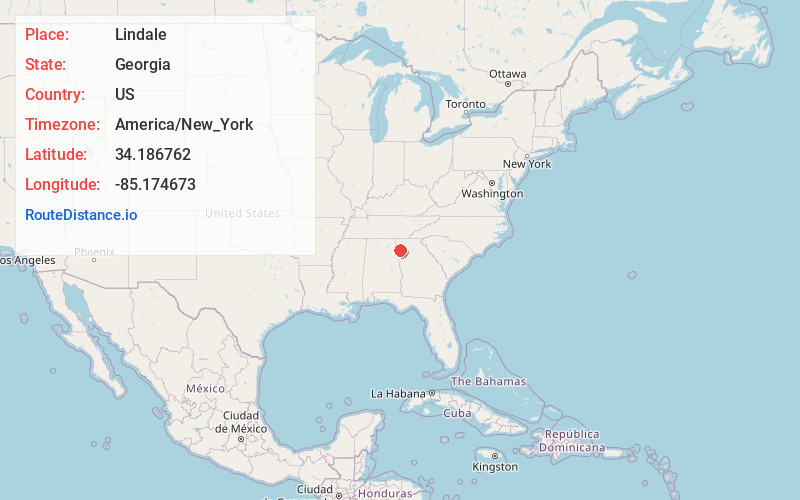
Full AddressLindale, GA
-
Coordinates34.1867623, -85.1746725
-
LocationLindale , Georgia , US
-
TimezoneAmerica/New_York
-
Current Local Time8:56:45 PM America/New_YorkSunday, June 29, 2025
-
Page Views0
About Lindale
Lindale is an unincorporated community and census-designated place in Floyd County, Georgia, United States. It is part of the Rome, Georgia Metropolitan Statistical Area. The population was 4,191 at the 2010 census.


Nearby Places
Found 10 places within 50 miles

Rome
4.8 mi
7.7 km
Rome, GA
Get directions

Cedartown
13.0 mi
20.9 km
Cedartown, GA 30125
Get directions

Rockmart
14.8 mi
23.8 km
Rockmart, GA 30153
Get directions

Adairsville
18.6 mi
29.9 km
Adairsville, GA 30103
Get directions

Cartersville
21.5 mi
34.6 km
Cartersville, GA
Get directions

Calhoun
25.3 mi
40.7 km
Calhoun, GA
Get directions

Dallas
26.3 mi
42.3 km
Dallas, GA
Get directions

Acworth
29.7 mi
47.8 km
Acworth, GA
Get directions

Piedmont
30.9 mi
49.7 km
Piedmont, AL 36272
Get directions

Hiram
31.9 mi
51.3 km
Hiram, GA
Get directions
Location Links
Local Weather
Weather Information
Coming soon!
Location Map
Static map view of Lindale, Georgia
Browse Places by Distance
Places within specific distances from Lindale
Short Distances
Long Distances
Click any distance to see all places within that range from Lindale. Distances shown in miles (1 mile ≈ 1.61 kilometers).