Distance to and from Adairsville, Georgia
Adairsville, GA 30103
Adairsville
Georgia
US
America/New_York
Location Information
-
Full AddressAdairsville, GA 30103
-
Coordinates34.3687021, -84.9341093
-
LocationAdairsville , Georgia , US
-
TimezoneAmerica/New_York
-
Current Local Time6:52:48 PM America/New_YorkSaturday, May 3, 2025
-
Page Views0
Directions to Nearest Cities
About Adairsville
Adairsville is a city in Bartow County, Georgia, United States. As of the 2020 census, the city had a population of 4,878. Adairsville is approximately halfway between Atlanta and Chattanooga on Interstate 75. It is 12 miles south of Calhoun, 18 miles northeast of Rome and 61 miles north of Atlanta.


Nearby Places
Found 10 places within 50 miles

Calhoun
9.3 mi
15.0 km
Calhoun, GA
Get directions

Rome
15.5 mi
24.9 km
Rome, GA
Get directions

Cartersville
16.0 mi
25.7 km
Cartersville, GA
Get directions

Acworth
25.6 mi
41.2 km
Acworth, GA
Get directions

Rockmart
26.0 mi
41.8 km
Rockmart, GA 30153
Get directions

Canton
26.9 mi
43.3 km
Canton, GA
Get directions

Dalton
27.8 mi
44.7 km
Dalton, GA
Get directions

Holly Springs
28.1 mi
45.2 km
Holly Springs, GA
Get directions

Chatsworth
29.0 mi
46.7 km
Chatsworth, GA 30705
Get directions

Kennesaw
30.0 mi
48.3 km
Kennesaw, GA
Get directions
Calhoun
9.3 mi
15.0 km
Calhoun, GA
Rome
15.5 mi
24.9 km
Rome, GA
Cartersville
16.0 mi
25.7 km
Cartersville, GA
Acworth
25.6 mi
41.2 km
Acworth, GA
Rockmart
26.0 mi
41.8 km
Rockmart, GA 30153
Canton
26.9 mi
43.3 km
Canton, GA
Dalton
27.8 mi
44.7 km
Dalton, GA
Holly Springs
28.1 mi
45.2 km
Holly Springs, GA
Chatsworth
29.0 mi
46.7 km
Chatsworth, GA 30705
Kennesaw
30.0 mi
48.3 km
Kennesaw, GA
Location Links
Local Weather
Weather Information
Coming soon!
Location Map
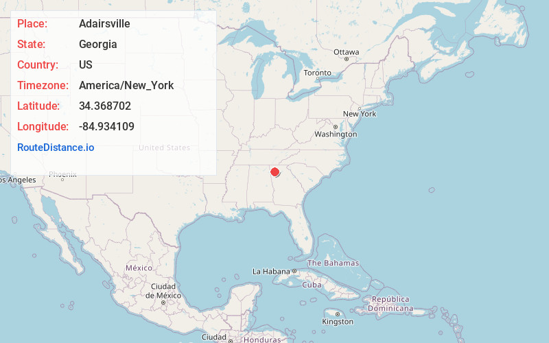
Static map view of Adairsville, Georgia
Browse Places by Distance
Places within specific distances from Adairsville
Short Distances
Long Distances
Click any distance to see all places within that range from Adairsville. Distances shown in miles (1 mile ≈ 1.61 kilometers).