Distance to Cedar Bluff, Alabama

Calculating Your Route
Just a moment while we process your request...
Location Information
-
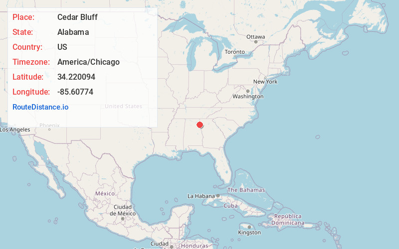
Full AddressCedar Bluff, AL
-
Coordinates34.2200942, -85.6077402
-
LocationCedar Bluff , Alabama , US
-
TimezoneAmerica/Chicago
-
Current Local Time11:06:25 AM America/ChicagoThursday, June 19, 2025
-
Website
-
Page Views0
About Cedar Bluff
Cedar Bluff is a town in Cherokee County, Alabama, United States. At the 2020 census, the population was 1,845. Unlike the rest of the county, Cedar Bluff is a wet town. Cedar Bluff is located on the north shore of Weiss Lake, noted for its crappie fishing.


Nearby Places
Found 10 places within 50 miles

Centre
6.2 mi
10.0 km
Centre, AL 35960
Get directions

Collinsville
14.8 mi
23.8 km
Collinsville, AL 35961
Get directions

Fort Payne
16.8 mi
27.0 km
Fort Payne, AL
Get directions

Piedmont
20.4 mi
32.8 km
Piedmont, AL 36272
Get directions

Hokes Bluff
21.3 mi
34.3 km
Hokes Bluff, AL
Get directions

Crossville
22.6 mi
36.4 km
Crossville, AL
Get directions

Summerville
23.3 mi
37.5 km
Summerville, GA 30747
Get directions

Rainsville
23.4 mi
37.7 km
Rainsville, AL
Get directions

Cedartown
24.7 mi
39.8 km
Cedartown, GA 30125
Get directions

Lindale
24.9 mi
40.1 km
Lindale, GA
Get directions
Location Links
Local Weather
Weather Information
Coming soon!
Location Map
Static map view of Cedar Bluff, Alabama
Browse Places by Distance
Places within specific distances from Cedar Bluff
Short Distances
Long Distances
Click any distance to see all places within that range from Cedar Bluff. Distances shown in miles (1 mile ≈ 1.61 kilometers).