Distance to Lazbuddie, Texas

Calculating Your Route
Just a moment while we process your request...
Location Information
-
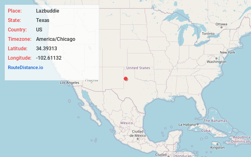
Full AddressLazbuddie, TX 79347
-
Coordinates34.3931297, -102.6113201
-
LocationLazbuddie , Texas , US
-
TimezoneAmerica/Chicago
-
Current Local Time8:09:09 AM America/ChicagoMonday, June 23, 2025
-
Page Views0
About Lazbuddie
Lazbuddie is an unincorporated community in Parmer County, Texas, United States. Named for local business owner Luther "Laz" Green, and his partner, Andrew "Buddie" Sherley, the community grew up around the store they opened in 1924. Later, a post office and school were established.
Nearby Places
Found 10 places within 50 miles

Flagg
11.7 mi
18.8 km
Flagg, TX 79027
Get directions

Muleshoe
13.2 mi
21.2 km
Muleshoe, TX 79347
Get directions

Earth
15.9 mi
25.6 km
Earth, TX 79031
Get directions
Parmerton
16.9 mi
27.2 km
Parmerton, TX 79035
Get directions
Lariat
17.5 mi
28.2 km
Lariat, TX 79325
Get directions

Bovina
17.6 mi
28.3 km
Bovina, TX
Get directions

Friona
18.3 mi
29.5 km
Friona, TX 79035
Get directions

Dimmitt
20.2 mi
32.5 km
Dimmitt, TX
Get directions

Springlake
20.7 mi
33.3 km
Springlake, TX 79082
Get directions

Sudan
23.0 mi
37.0 km
Sudan, TX
Get directions
Location Links
Local Weather
Weather Information
Coming soon!
Location Map
Static map view of Lazbuddie, Texas
Browse Places by Distance
Places within specific distances from Lazbuddie
Short Distances
Long Distances
Click any distance to see all places within that range from Lazbuddie. Distances shown in miles (1 mile ≈ 1.61 kilometers).