Distance to Le Flore, Oklahoma

Calculating Your Route
Just a moment while we process your request...
Location Information
-
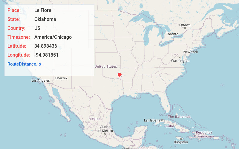
Full AddressLe Flore, OK
-
Coordinates34.8984359, -94.9818513
-
LocationLe Flore , Oklahoma , US
-
TimezoneAmerica/Chicago
-
Current Local Time6:37:34 PM America/ChicagoWednesday, June 18, 2025
-
Page Views0
About Le Flore
LeFlore is a town in LeFlore County, Oklahoma, United States. It is part of the Fort Smith, Arkansas-Oklahoma Metropolitan Statistical Area. The population was 198 at the 2010 census, an increase of 13.1 percent over the figure of 168 in 2000.
Nearby Places
Found 10 places within 50 miles

Fanshawe
5.5 mi
8.9 km
Fanshawe, OK 74966
Get directions

Red Oak
6.7 mi
10.8 km
Red Oak, OK 74563
Get directions

Talihina
10.8 mi
17.4 km
Talihina, OK 74571
Get directions

Wister
15.3 mi
24.6 km
Wister, OK 74966
Get directions

McCurtain
17.4 mi
28.0 km
McCurtain, OK
Get directions

Wilburton
18.6 mi
29.9 km
Wilburton, OK 74578
Get directions

Howe
19.9 mi
32.0 km
Howe, OK 74940
Get directions

Kinta
21.0 mi
33.8 km
Kinta, OK 74552
Get directions

Heavener
21.5 mi
34.6 km
Heavener, OK 74937
Get directions

Bokoshe
22.8 mi
36.7 km
Bokoshe, OK 74930
Get directions
Location Links
Local Weather
Weather Information
Coming soon!
Location Map
Static map view of Le Flore, Oklahoma
Browse Places by Distance
Places within specific distances from Le Flore
Short Distances
Long Distances
Click any distance to see all places within that range from Le Flore. Distances shown in miles (1 mile ≈ 1.61 kilometers).