Distance to Le Sueur, Minnesota

Calculating Your Route
Just a moment while we process your request...
Location Information
-
Full AddressLe Sueur, MN 56058
-
Coordinates44.4598517, -93.9113634
-
LocationLe Sueur , Minnesota , US
-
TimezoneAmerica/Chicago
-
Current Local Time6:40:11 PM America/ChicagoMonday, June 2, 2025
-
Page Views0
About Le Sueur
Le Sueur is a city in Le Sueur County in the U.S. state of Minnesota, between Mankato and the Twin Cities. It lies along the Minnesota River and U.S. Highway 169. Le Sueur was named in honor of the French explorer Pierre-Charles Le Sueur. The population was 4,213 at the 2020 census.


Nearby Places
Found 10 places within 50 miles

St Peter
9.5 mi
15.3 km
St Peter, MN 56082
Get directions

Belle Plaine
13.3 mi
21.4 km
Belle Plaine, MN
Get directions

New Prague
17.5 mi
28.2 km
New Prague, MN 56071
Get directions

Jordan
20.1 mi
32.3 km
Jordan, MN 55352
Get directions

North Mankato
20.7 mi
33.3 km
North Mankato, MN 56003
Get directions

Mankato
20.8 mi
33.5 km
Mankato, MN
Get directions

Lonsdale
23.8 mi
38.3 km
Lonsdale, MN 55046
Get directions

Glencoe
24.4 mi
39.3 km
Glencoe, MN 55336
Get directions

Carver
25.3 mi
40.7 km
Carver, MN
Get directions

Chaska
27.4 mi
44.1 km
Chaska, MN 55318
Get directions
Location Links
Local Weather
Weather Information
Coming soon!
Location Map
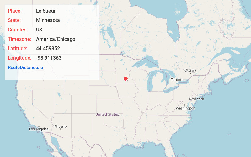
Static map view of Le Sueur, Minnesota
Browse Places by Distance
Places within specific distances from Le Sueur
Short Distances
Long Distances
Click any distance to see all places within that range from Le Sueur. Distances shown in miles (1 mile ≈ 1.61 kilometers).