Distance to St Peter, Minnesota

Calculating Your Route
Just a moment while we process your request...
Location Information
-
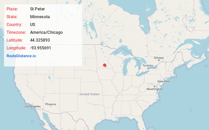
Full AddressSt Peter, MN 56082
-
Coordinates44.3258932, -93.955691
-
LocationSt Peter , Minnesota , US
-
TimezoneAmerica/Chicago
-
Current Local Time1:25:55 PM America/ChicagoTuesday, July 1, 2025
-
Website
-
Page Views0
About St Peter
St. Peter is a city and the county seat of Nicollet County, Minnesota United States. It is 10 miles north of the Mankato – North Mankato metropolitan area. The population was 12,066 at the 2020 census. It is home to Gustavus Adolphus College.


Nearby Places
Found 10 places within 50 miles

North Mankato
11.2 mi
18.0 km
North Mankato, MN 56003
Get directions

Mankato
11.3 mi
18.2 km
Mankato, MN
Get directions

New Ulm
24.9 mi
40.1 km
New Ulm, MN 56073
Get directions

Faribault
34.0 mi
54.7 km
Faribault, MN 55021
Get directions

Chaska
36.5 mi
58.7 km
Chaska, MN 55318
Get directions

Waconia
37.2 mi
59.9 km
Waconia, MN
Get directions

Prior Lake
37.5 mi
60.4 km
Prior Lake, MN
Get directions

Shakopee
38.8 mi
62.4 km
Shakopee, MN
Get directions

Owatonna
39.7 mi
63.9 km
Owatonna, MN
Get directions

Northfield
40.3 mi
64.9 km
Northfield, MN 55057
Get directions
Location Links
Local Weather
Weather Information
Coming soon!
Location Map
Static map view of St Peter, Minnesota
Browse Places by Distance
Places within specific distances from St Peter
Short Distances
Long Distances
Click any distance to see all places within that range from St Peter. Distances shown in miles (1 mile ≈ 1.61 kilometers).