Distance to Faribault, Minnesota

Calculating Your Route
Just a moment while we process your request...
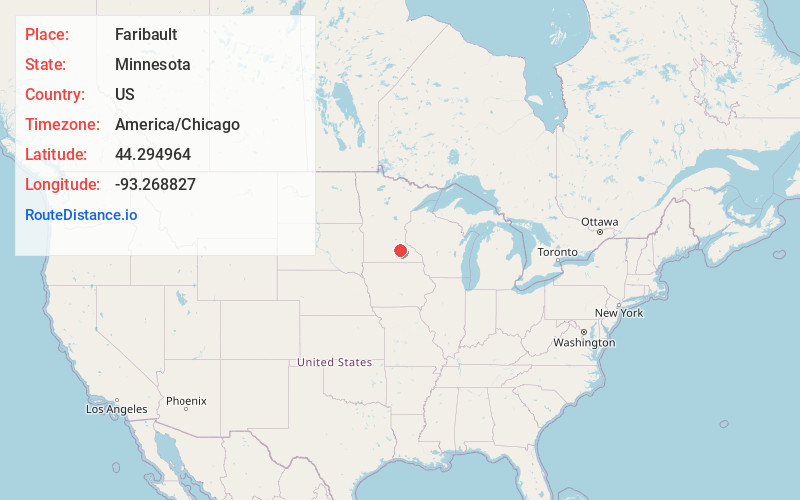
Location Information
-
Full AddressFaribault, MN 55021
-
Coordinates44.2949636, -93.268827
-
LocationFaribault , Minnesota , US
-
TimezoneAmerica/Chicago
-
Current Local Time5:06:14 PM America/ChicagoThursday, June 19, 2025
-
Website
-
Page Views0
About Faribault
Faribault is a city in and the county seat of Rice County, Minnesota, United States. The population was 24,453 at the 2020 census. Faribault is approximately 50 miles south of Minneapolis–Saint Paul.
Interstate 35 and Minnesota State Highways 3, 21, and 60 are the principal highways serving the city.


Nearby Places
Found 10 places within 50 miles

Owatonna
14.5 mi
23.3 km
Owatonna, MN
Get directions

Lakeville
24.5 mi
39.4 km
Lakeville, MN
Get directions

Farmington
24.6 mi
39.6 km
Farmington, MN
Get directions

Prior Lake
29.9 mi
48.1 km
Prior Lake, MN
Get directions

Apple Valley
30.3 mi
48.8 km
Apple Valley, MN 55124
Get directions

Rosemount
31.5 mi
50.7 km
Rosemount, MN 55068
Get directions

Burnsville
32.7 mi
52.6 km
Burnsville, MN
Get directions

Savage
32.8 mi
52.8 km
Savage, MN
Get directions

Eagan
35.5 mi
57.1 km
Eagan, MN
Get directions

Shakopee
37.0 mi
59.5 km
Shakopee, MN
Get directions
Location Links
Local Weather
Weather Information
Coming soon!
Location Map
Static map view of Faribault, Minnesota
Browse Places by Distance
Places within specific distances from Faribault
Short Distances
Long Distances
Click any distance to see all places within that range from Faribault. Distances shown in miles (1 mile ≈ 1.61 kilometers).